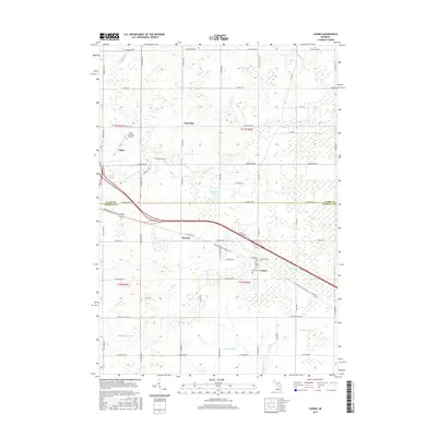
2017 Map of Loomis
USGS Topo · Published 2017About this map
Loomis and Herrick sit at the center of this rural landscape, marking a historical corridor defined by the crossing of Isabella and Clare counties. The southern branch of the S Br Tobacco River meanders through the northwest, while the Pere Marquette State Trail traces the path of a significant former railway line, passing through Loomis toward the city of Clare. The area is characterized by an extensive network of managed watercourses such as McDonald Drain and Menery Drain, reflecting a long history of land reclamation and agricultural development.
Find a feature on this map
62 named features on this map. Tap any name to fly to it.
Don’t see what you’re looking for? This feature index may not catch every label — zoom into the map to look around manually.
Map Details
Editions of this 2017 Loomis Map
This is the sole edition of this map. No revisions or reprints were ever made.
Other maps of this area

1916 · Mount Pleasant
USGS Topo · 1:62,500

1919 · Mount Pleasant
USGS Topo · 1:62,500

1930 · Shepherd
USGS Topo · 1:48,000

1936 · Shepherd
USGS Topo · 1:62,500

1943 · Mount Pleasant
USGS Topo · 1:62,500

1954 · Midland
USGS Topo · 1:250,000

1958 · Midland
USGS Topo · 1:250,000

1959 · Midland
USGS Topo · 1:250,000

1959 · Clare
USGS Topo · 1:62,500

1966 · Midland
USGS Topo · 1:250,000