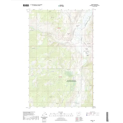
2020 Map of Loomis
USGS Topo · Published 2020About this map
Loomis sits at the foot of the eastern Cascade foothills, serving as a gateway to the steep ridges and deep draws of Okanogan County. The topography is dominated by massive landforms like Douglas Mtn and Gold Hill, which overlook a network of seasonal and permanent watercourses including Toats Coulee Cr and Sinlahekin Cr. Much of the southern portion of the quadrangle is dedicated to the Sinlahekin Deer Winter Range and Wildlife Refuge, protecting the valley floor and lower slopes.
Find a feature on this map
46 named features on this map. Tap any name to fly to it.
Don’t see what you’re looking for? This feature index may not catch every label — zoom into the map to look around manually.
Map Details
Editions of this 2020 Loomis Map
This is the sole edition of this map. No revisions or reprints were ever made.
Other maps of this area

1906 · Chopaka
USGS Topo · 1:125,000

1954 · Okanogan
USGS Topo · 1:250,000

1956 · Loomis
USGS Topo · 1:62,500

1956 · Tiffany Mountain
USGS Topo · 1:62,500

1956 · Horseshoe Basin
USGS Topo · 1:62,500

1957 · Conconully
USGS Topo · 1:62,500

1958 · Okanogan
USGS Topo · 1:250,000
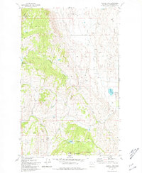
1980 · Aeneas Lake
USGS Topo · 1:24,000
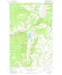
1980 · Blue Goat Mtn
USGS Topo · 1:24,000
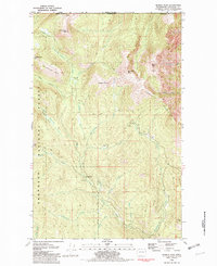
1981 · Hurley Peak
USGS Topo · 1:24,000