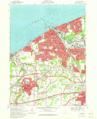
1969 Map of Lorain
USGS Topo · Published 1972About this map
The industrial and maritime activity of Lorain dominates this late-1960s survey, where the Black River meets Lake Erie. The landscape is a dense network of transport and industry, featuring a complex Turning Basin for lake freighters and extensive rail yards operated by the Norfolk and Western and Baltimore and Ohio railroads. The map records the expansion of the urban footprint through South Lorain and Amherst, as well as the path of the newly established Ohio Turnpike cutting across the southern portion of the quadrangle.
Find a feature on this map
75 named features on this map. Tap any name to fly to it.
Don’t see what you’re looking for? This feature index may not catch every label — zoom into the map to look around manually.
Map Details
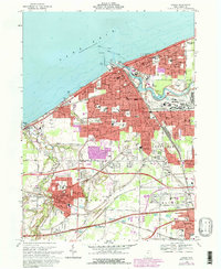
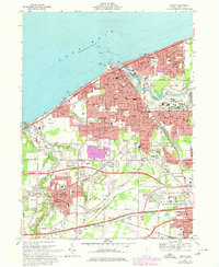
Editions of this 1969 Lorain Map
3 editions found
Other maps of this area

1901 · Oberlin
USGS Topo · 1:62,500

1903 · Vermilion
USGS Topo · 1:62,500

1903 · Oberlin
USGS Topo · 1:62,500

1953 · Grafton
USGS Topo · 1:24,000

1953 · Avon
USGS Topo · 1:24,000

1956 · Toledo
USGS Topo · 1:250,000

1959 · Vermilion East
USGS Topo · 1:24,000

1959 · Kipton
USGS Topo · 1:24,000

1960 · Oberlin
USGS Topo · 1:24,000
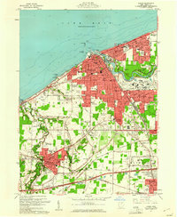
1960 · Lorain
USGS Topo · 1:24,000