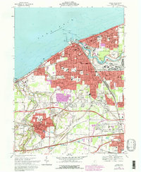
1969 Map of Lorain
USGS Topo · Published 1980About this map
Lake Erie's industrial shoreline defines this 1969 survey of Lorain, where the Black River winds past a massive Turning Basin and the Norfolk and Western and Baltimore and Ohio rail lines converge at the docks. The map documents the city's dense urban infrastructure during a period of significant growth, noting a maritime landscape of Drydocks, a Filtration Plant, and a Naval Reserve Training Center. Moving inland, the transition from heavy industry to residential life is marked by numerous parochial institutions like St Peters Ch and St Marys Sch. To the south, the expansion of Amherst and Elyria is evident, while the large tracts of Elmwood Cemetery and Ridge Hill Memorial Park stand between the industrial core and the developing suburbs along the Ohio Turnpike.
Find a feature on this map
96 named features on this map. Tap any name to fly to it.
Don’t see what you’re looking for? This feature index may not catch every label — zoom into the map to look around manually.
Map Details
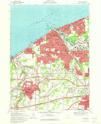
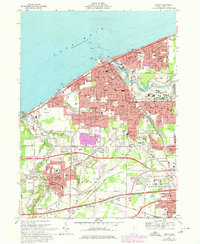
Editions of this 1969 Lorain Map
3 editions found
Other maps of this area

1901 · Oberlin
USGS Topo · 1:62,500

1903 · Vermilion
USGS Topo · 1:62,500

1903 · Oberlin
USGS Topo · 1:62,500

1953 · Grafton
USGS Topo · 1:24,000

1953 · Avon
USGS Topo · 1:24,000

1956 · Toledo
USGS Topo · 1:250,000

1959 · Vermilion East
USGS Topo · 1:24,000

1959 · Kipton
USGS Topo · 1:24,000

1960 · Oberlin
USGS Topo · 1:24,000
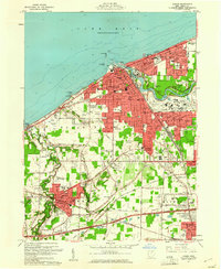
1960 · Lorain
USGS Topo · 1:24,000