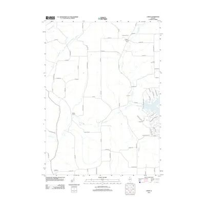
2012 Map of Loran
USGS Topo · Published 2012About this map
Loran and the surrounding rural landscapes of Stephenson County are defined by a network of waterways and early burial grounds in this 2012 survey. The drainage of the E Plum River and the Muddy Plum River carves through the terrain, joined by smaller tributaries like Davis Cr and Spring Creek. The map provides significant detail for genealogists, identifying the Woodland Brethren Cem in the southwest and the Stone Church Cem to the northeast, alongside the centrally located Renner Cem.
Find a feature on this map
67 named features on this map. Tap any name to fly to it.
Don’t see what you’re looking for? This feature index may not catch every label — zoom into the map to look around manually.
Map Details
Editions of this 2012 Loran Map
This is the sole edition of this map. No revisions or reprints were ever made.
Other maps of this area

1892 · Savanna
USGS Topo · 1:62,500

1911 · Elizabeth
USGS Topo · 1:62,500

1936 · Elizabeth
USGS Topo · 1:62,500

1937 · Lena
USGS Topo · 1:48,000

1942 · Mt Carroll
USGS Topo · 1:62,500

1942 · Lena
USGS Topo · 1:62,500

1943 · Lena
USGS Topo · 1:62,500

1944 · Mt Carroll
USGS Topo · 1:62,500

1952 · Savanna
USGS Topo · 1:62,500

1954 · Rockford
USGS Topo · 1:250,000
Featured Places
- Loran, IL
- Pleasant Valley Township, IL
- Berreman Township, IL
- Stephenson County, IL
- Jo Daviess County, IL