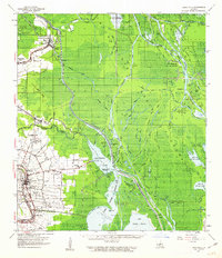
1960 Map of Loreauville
USGS Topo · Published 1963About this map
Bayou Teche defines the western edge of this landscape, anchoring a string of historic communities including Loreauville, Belle Place, and Walet. This 1960 era survey by the Mississippi River Commission details the transition from the settled agricultural lands and sugar country along the bayou to the expansive wetlands of the Atchafalaya Floodway. The eastern portion of the sheet is dominated by a complex network of waterways like Lake Dauterive and Fausse Pointe Lake, which serve as the backdrop for the region's mid-century petroleum industry, including the Fausse Pointe Oil Field and Section 28 Oil and Gas Field.
Find a feature on this map
98 named features on this map. Tap any name to fly to it.
Don’t see what you’re looking for? This feature index may not catch every label — zoom into the map to look around manually.
Map Details
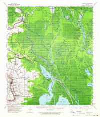
Editions of this 1960 Loreauville Map
2 editions found
Other maps of this area

1935 · Osca Bayou
USGS Topo · 1:62,500

1935 · Chicot Lake
USGS Topo · 1:62,500

1937 · Jeanerette
USGS Topo · 1:62,500

1937 · Derouen
USGS Topo · 1:62,500

1939 · St. Martinsville
USGS Topo · 1:62,500

1940 · Grosse Tete
USGS Topo · 1:62,500

1940 · Arnaudville
USGS Topo · 1:62,500

1941 · Loreauville
USGS Topo · 1:62,500

1945 · New Orleans
USGS Topo · 1:250,000

1948 · Foster
USGS Topo · 1:62,500