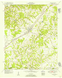
1950 Map of Loretto
USGS Topo · Published 1954About this map
Loretto serves as the central hub of this 1950s survey, positioned along the Louisville and Nashville railroad line and the Louisville and Nashville Highway. The landscape is defined by its transition from the Tennessee uplands into Alabama, marked by the state line boundary between Lawrence and Lauderdale counties. This borderland is dotted with small rural nodes like Peppertown, Rascal Town, and Busby, each supported by local institutions such as Daisy Chapel, Bluewater Church, and the Liberty Grove School.
Find a feature on this map
48 named features on this map. Tap any name to fly to it.
Don’t see what you’re looking for? This feature index may not catch every label — zoom into the map to look around manually.
Map Details
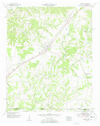
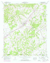
Editions of this 1950 Loretto Map
3 editions found
Other maps of this area

1905 · Waynesboro
USGS Topo · 1:125,000

1914 · Rogersville
USGS Topo · 1:48,000

1914 · Muscle Shoals
USGS Topo · 1:48,000

1916 · Muscle Shoals
USGS Topo · 1:62,500

1916 · Rogersville
USGS Topo · 1:62,500

1936 · Westpoint
USGS Topo · 1:24,000

1936 · Lexington
USGS Topo · 1:24,000

1936 · Lawrenceburg
USGS Topo · 1:24,000

1936 · Long Branch
USGS Topo · 1:24,000

1936 · Loretto
USGS Topo · 1:24,000