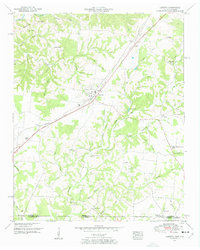
1950 Map of Loretto
USGS Topo · Published 1954About this map
Loretto stands as a central hub in this 1950s study of southern Tennessee, situated where the Louisville and Nashville railroad intersects the primary north-south corridor of the Jackson Highway. The map captures a landscape transitioning into Alabama, defined by a dense network of family-named watercourses such as Clack Branch and Yeager Branch that carve through the undulating terrain of Hensley Ridge. Local social centers are clearly delineated, from the Liberty Grove School and Daisy Chapel to the small-town athletics at the local Ball park.
Find a feature on this map
51 named features on this map. Tap any name to fly to it.
Don’t see what you’re looking for? This feature index may not catch every label — zoom into the map to look around manually.
Map Details
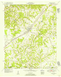
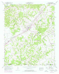
Editions of this 1950 Loretto Map
3 editions found
Other maps of this area

1905 · Waynesboro
USGS Topo · 1:125,000

1914 · Rogersville
USGS Topo · 1:48,000

1914 · Muscle Shoals
USGS Topo · 1:48,000

1916 · Muscle Shoals
USGS Topo · 1:62,500

1916 · Rogersville
USGS Topo · 1:62,500

1936 · Westpoint
USGS Topo · 1:24,000

1936 · Lexington
USGS Topo · 1:24,000

1936 · Lawrenceburg
USGS Topo · 1:24,000

1936 · Long Branch
USGS Topo · 1:24,000

1936 · Loretto
USGS Topo · 1:24,000