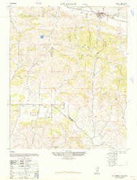
1948 Map of Los Alamos
USGS Topo · Published 1956About this map
Los Alamos Valley serves as the central corridor for this 1947 study, capturing the agricultural heart of Santa Barbara County's interior during the post-war era. The town of Los Alamos is meticulously detailed at the valley's northern edge, showing the original street grid, the Los Alamos School, and the nearby Los Alamos Cemetery on a rise overlooking the settlement. The landscape is defined by the complex drainage systems of the Purisima Hills and Santa Rita Hills, where numerous canyons like Drum Canyon and Cañada de los Cañaveras carve through the terrain. These natural features dictated the early ranching and land division boundaries, including the Santa Rita and Santa Rosa partitions. This map, reprinted from a military edition for civil use, provides an important record of rural land use before modern irrigation and development altered the character of the Santa Rita Valley.
Find a feature on this map
20 named features on this map. Tap any name to fly to it.
Don’t see what you’re looking for? This feature index may not catch every label — zoom into the map to look around manually.
Map Details
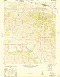
Editions of this 1948 Los Alamos Map
2 editions found
Other maps of this area

1905 · Lompoc
USGS Topo · 1:125,000

1942 · Lompoc
USGS Topo · 1:125,000

1942 · Lompoc
USGS Topo · 1:62,500

1942 · Santa Maria
USGS Topo · 1:62,500

1942 · Tepusquet Peak
USGS Topo · 1:62,500

1942 · Los Olivos
USGS Topo · 1:62,500

1943 · Los Olivos
USGS Topo · 1:62,500

1943 · Tepusquet Peak
USGS Topo · 1:62,500

1943 · Lompoc
USGS Topo · 1:125,000

1947 · Lompoc
USGS Topo · 1:24,000