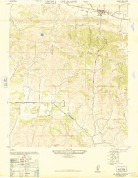
1948 Map of Los Alamos
USGS Topo · Published 1948About this map
Los Alamos sits at the heart of the Los Alamos Valley, serving as a centralized hub for this rural stretch of Santa Barbara County just after World War II. The settlement is clearly defined by its street grid, containing the Los Alamos School and the Los Alamos Cemetery to the south. The landscape is dominated by the prominent Purisima Hills and Santa Rita Hills, which hem in the cultivated lowlands and define the drainage patterns of the region.
Find a feature on this map
21 named features on this map. Tap any name to fly to it.
Don’t see what you’re looking for? This feature index may not catch every label — zoom into the map to look around manually.
Map Details
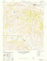
Editions of this 1948 Los Alamos Map
2 editions found
Other maps of this area

1905 · Lompoc
USGS Topo · 1:125,000

1942 · Lompoc
USGS Topo · 1:125,000

1942 · Lompoc
USGS Topo · 1:62,500

1942 · Santa Maria
USGS Topo · 1:62,500

1942 · Tepusquet Peak
USGS Topo · 1:62,500

1942 · Los Olivos
USGS Topo · 1:62,500

1943 · Los Olivos
USGS Topo · 1:62,500

1943 · Tepusquet Peak
USGS Topo · 1:62,500

1943 · Lompoc
USGS Topo · 1:125,000

1947 · Lompoc
USGS Topo · 1:24,000