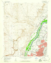
1960 Map of Los Griegos
USGS Topo · Published 1960About this map
The Rio Grande corridor north of Albuquerque reveals a landscape in mid-century transition, where traditional agricultural lands of the Town of Alameda Grant meet the expanding suburban edges of the city. The fertile valley is crisscrossed by an intricate network of irrigation and drainage infrastructure, including the Albuquerque Main Canal, Corrales Drain, and Griegos Lateral. This water system supports established communities like Los Ranchos de Albuquerque and Lee Acres, while the adjacent mesas remain largely undeveloped, punctuated only by landmarks like the Buena Vista Cattle Camp and the site of the El Rancho Airport. Local education and social hubs are well-documented, from St Joseph College to neighborhood institutions like the Wm Taft Jr High Sch and Griegos Sch. The map also captures the path of the A T & S F RR, which mirrors the river and highway, reinforcing the valley's role as a primary transportation artery.
Find a feature on this map
56 named features on this map. Tap any name to fly to it.
Don’t see what you’re looking for? This feature index may not catch every label — zoom into the map to look around manually.
Map Details
Editions of this 1960 Los Griegos Map
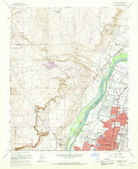
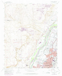
Other maps of this area

1888 · Bernalillo
USGS Topo · 1:125,000

1889 · Albuquerque
USGS Topo · 1:125,000

1893 · Albuquerque
USGS Topo · 1:125,000

1934 · Alameda
USGS Topo · 1:24,000

1934 · West Albuquerque
USGS Topo · 1:24,000

1934 · Griegos
USGS Topo · 1:24,000

1934 · East Albuquerque
USGS Topo · 1:24,000

1938 · Albuquerque
USGS Topo · 1:62,500

1954 · Alameda
USGS Topo · 1:24,000

1954 · Volcano Ranch
USGS Topo · 1:24,000