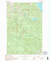
1989 Map of Lost Lake
USGS Topo · Published 1989About this map
Humpback Mountain and Mount Catherine dominate the high terrain where the King and Kittitas county lines meet. This landscape is defined by its critical role in municipal water supply, split between the Cedar River Watershed managed by the City of Seattle and the Green River Watershed under the City of Tacoma. The map documents a rugged network of alpine hydrology, from the prominent Keechelus Lake to smaller basins like Annette Lake, Mirror Lake, and the eponymous Lost Lake.
Find a feature on this map
47 named features on this map. Tap any name to fly to it.
Don’t see what you’re looking for? This feature index may not catch every label — zoom into the map to look around manually.
Map Details
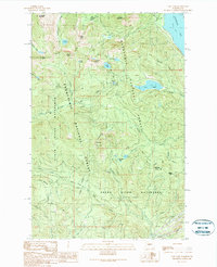
Editions of this 1989 Lost Lake Map
2 editions found
Other maps of this area

1901 · Snoqualmie Pass
USGS Topo · 1:125,000

1903 · Snoqualmie
USGS Topo · 1:125,000

1913 · Cedar Lake
USGS Topo · 1:125,000

1956 · Greenwater
USGS Topo · 1:62,500

1957 · Wenatchee
USGS Topo · 1:250,000

1960 · Bandera
USGS Topo · 1:62,500

1961 · Snoqualmie Pass
USGS Topo · 1:62,500

1962 · Lester
USGS Topo · 1:62,500

1975 · Snoqualmie Pass
USGS Topo · 1:100,000
1986 · Nagrom
USGS Topo · 1:24,000