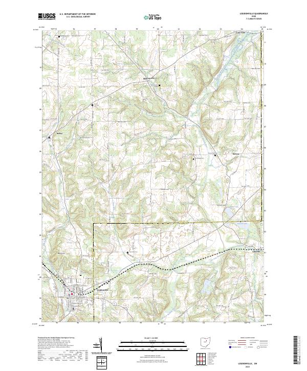
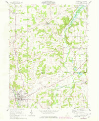
2023 Map of Loudonville
USGS Topo · Published 2023About this map
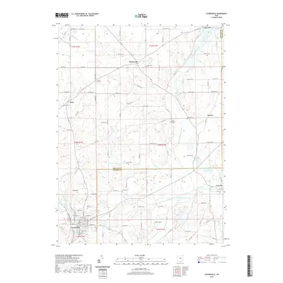
The Black Fork Mohican River and the Lake Fork Mohican River converge in this corner of North Central Ohio, shaping a landscape defined by sharp elevation shifts and narrow valley floors. Loudonville serves as the primary hub at the southern edge, while smaller settlements like Mohicanville, McKay, and Lakeville anchor the surrounding rural townships. The map is particularly dense with genealogical sites, including several family or township burial grounds such as Old Sixteen Cem and the uniquely named Synagogue Cem in the northwest.
Find a feature on this map
108 named features on this map. Tap any name to fly to it.
Don’t see what you’re looking for? This feature index may not catch every label — zoom into the map to look around manually.
Map Details
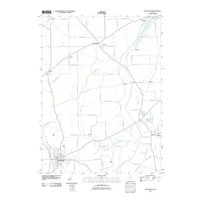
Editions of this 2023 Loudonville Map
This is the sole edition of this map. No revisions or reprints were ever made.
Historical Maps of Loudonville Through Time
9 maps found
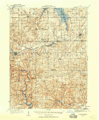
1912 Loudonville
Ashland County, OH
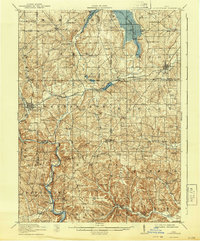
1914 Loudonville
Ashland County, OH
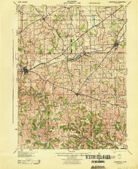
1943 Loudonville
Ashland County, OH
1961 Loudonville
Ashland County, OH
2010 Loudonville
Ashland County, OH
2013 Loudonville
Ashland County, OH
2016 Loudonville
Ashland County, OH
2019 Loudonville
Ashland County, OH
2023 Loudonville
Ashland County, OH