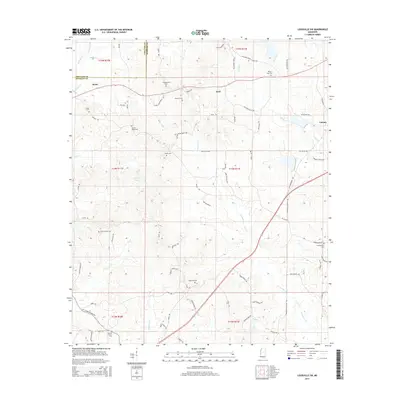
2015 Map of Louisville SW
USGS Topo · Published 2015About this map
Noxapater Cr and Lobutcha Cr define the drainage of this Winston County landscape, where small crossroads settlements and family burial grounds dot the rural terrain. The community of Rome sits near the northern boundary, while Ford and Calvary occupy the central and eastern sections. This area is characterized by a dense network of country roads named for local families, such as Adams Mills Rd, Brooks Carter Rd, and Yarbrough-Carter Rd. Genealogists will find a significant concentration of historic cemeteries, including Center Ridge Cem, Shiloh Cem, and Hopewell Cem, many located near established churches like those along Welcome Chapel Church Rd. The mapping of Kemps Pond and numerous small creek branches like Tater Cr and Ball Cr provides a detailed view of the water resources that shaped early settlement patterns in this part of Mississippi.
Find a feature on this map
80 named features on this map. Tap any name to fly to it.
Don’t see what you’re looking for? This feature index may not catch every label — zoom into the map to look around manually.
Map Details
Editions of this 2015 Louisville SW Map
This is the sole edition of this map. No revisions or reprints were ever made.
Other maps of this area

1953 · Meridian
USGS Topo · 1:250,000

1953 · West Point
USGS Topo · 1:250,000

1957 · Meridian
USGS Topo · 1:250,000

1958 · West Point
USGS Topo · 1:250,000

1962 · Edinburg
USGS Topo · 1:62,500

1963 · West Point
USGS Topo · 1:250,000

1965 · Meridian
USGS Topo · 1:250,000

1972 · Louisville North
USGS Topo · 1:24,000

1972 · McCool
USGS Topo · 1:24,000

1972 · Highpoint
USGS Topo · 1:24,000