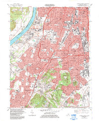
1983 Map of Louisville West
USGS Topo · Published 1984About this map
Louisville and its southwestern suburbs are depicted here in the early 1980s, showcasing a landscape defined by industrial development, major transit corridors, and established residential additions. The dense urban grid of Parkland and Oakdale gives way to sprawling suburban developments such as Pleasure Ridge Park and Shively, reflecting the mid-century outward growth of the city. Industrial activity is anchored by the U S Naval Ordnance Plant and various facilities along the Ohio River, including a prominent Pumping Sta and several tailings ponds.
Find a feature on this map
129 named features on this map. Tap any name to fly to it.
Don’t see what you’re looking for? This feature index may not catch every label — zoom into the map to look around manually.
Map Details
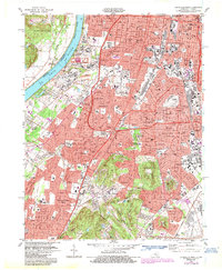
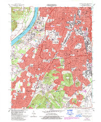
Editions of this 1983 Louisville West Map
3 editions found
Other maps of this area

1905 · Prospect
USGS Topo · 1:62,500

1907 · Louisville
USGS Topo · 1:62,500

1909 · Kosmosdale
USGS Topo · 1:48,000

1912 · Prospect
USGS Topo · 1:62,500

1912 · Kosmosdale
USGS Topo · 1:62,500

1937 · Jeffersonville
USGS Topo · 1:24,000

1939 · New Albany
USGS Topo · 1:24,000

1939 · Georgetown
USGS Topo · 1:24,000

1946 · Jeffersonville
USGS Topo · 1:24,000

1946 · New Albany
USGS Topo · 1:24,000