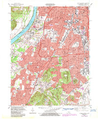
1983 Map of Louisville West
USGS Topo · Published 1987About this map
Louisville and its southwestern suburbs are depicted here during a period of established residential growth and industrial significance. The urban landscape is anchored by the presence of Churchill Downs and the expansive Iroquois Park, which provide a clear sense of the city's recreational and cultural geography. Heavy infrastructure and transportation networks, including the Kentucky & Indiana Terminal RR and the Watterson Expressway, illustrate the area's mid-century role as a logistical hub.
Find a feature on this map
66 named features on this map. Tap any name to fly to it.
Don’t see what you’re looking for? This feature index may not catch every label — zoom into the map to look around manually.
Map Details
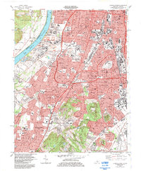
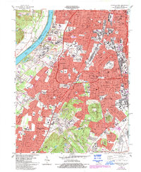
Editions of this 1983 Louisville West Map
3 editions found
Other maps of this area

1905 · Prospect
USGS Topo · 1:62,500

1907 · Louisville
USGS Topo · 1:62,500

1909 · Kosmosdale
USGS Topo · 1:48,000

1912 · Prospect
USGS Topo · 1:62,500

1912 · Kosmosdale
USGS Topo · 1:62,500

1937 · Jeffersonville
USGS Topo · 1:24,000

1939 · New Albany
USGS Topo · 1:24,000

1939 · Georgetown
USGS Topo · 1:24,000

1946 · Jeffersonville
USGS Topo · 1:24,000

1946 · New Albany
USGS Topo · 1:24,000