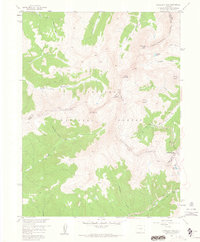
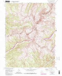
1958 Map of Loveland Pass
USGS Topo · Published 1962About this map
Continental Divide serves as the dominant axis of this high-altitude survey, delineating the boundaries of Clear Creek, Grand, and Summit counties. This 1958 field-checked record highlights the early development of the Loveland Ski Area, situated just east of the famous Loveland Pass. The landscape is characterized by a network of drainage basins, including the headwaters of the Middle Fork Williams Fork and the North Fork Snake River. High-elevation landmarks such as Pettingell Peak, Hagar Mountain, and Coon Hill punctuate the Arapaho National Forest. The presence of the Straight Creek Jeep Trail and various named gulches like Dry Gulch and Herman Gulch provides a look at the primitive access routes through these mountain corridors before modern highway expansions reached their peak.
Find a feature on this map
31 named features on this map. Tap any name to fly to it.
Don’t see what you’re looking for? This feature index may not catch every label — zoom into the map to look around manually.
Map Details
Editions of this 1958 Loveland Pass Map
5 editions found
Other maps of this area

1924 · Montezuma
USGS Topo · 1:62,500

1924 · Fraser
USGS Topo · 1:62,500

1926 · Fraser
USGS Topo · 1:62,500

1926 · Montezuma
USGS Topo · 1:62,500

1929 · Dillon
USGS Topo · 1:62,500

1933 · Montezuma
USGS Topo · 1:62,500

1933 · Ute Peak
USGS Topo · 1:62,500

1934 · Dillon
USGS Topo · 1:62,500

1937 · Ute Peak
USGS Topo · 1:62,500

1953 · Denver
USGS Topo · 1:250,000