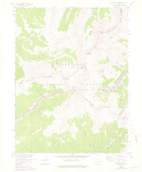
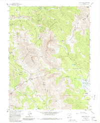
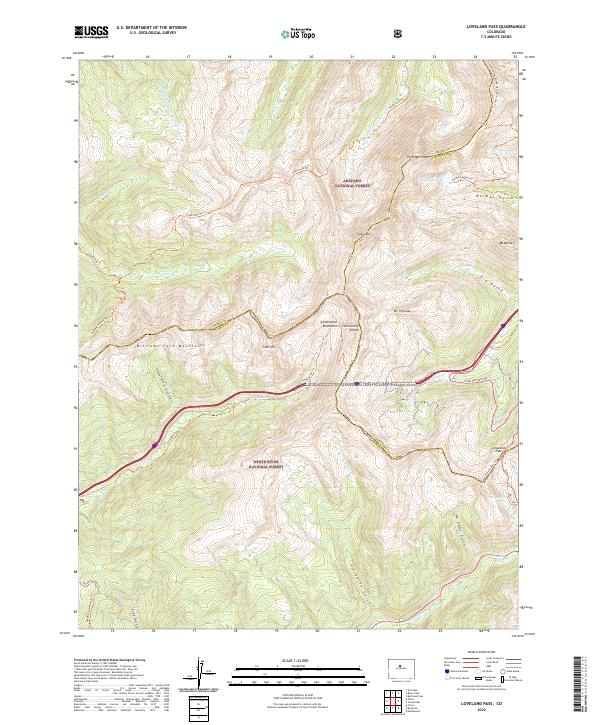
1958 Map of Loveland Pass
USGS Topo · Published 1976About this map
The Continental Divide serves as the literal backbone of this high-altitude landscape, defining the jagged boundaries between Grand, Summit, and Clear Creek counties. This mid-century survey, with revisions from the 1970s, captures a critical era of civil engineering in the Rockies, most notably the subterranean path of the Eisenhower Memorial Tunnel. While the tunnel bores beneath the mountains, the historic surface route over Loveland Pass remains a primary feature, winding through the Arapaho National Forest. The map documents a complex drainage network where the headwaters of the Middle Fork and South Fork Williams Fork begin their descent. High alpine peaks like Pettingell Peak and Hagar Mountain overlook the deep incisions of Herman Gulch and Dry Gulch, while small bodies of water such as Pass Lake and Herman Lake sit perched within the steep glacial terrain.
Find a feature on this map
30 named features on this map. Tap any name to fly to it.
Don’t see what you’re looking for? This feature index may not catch every label — zoom into the map to look around manually.
Map Details
Editions of this 1958 Loveland Pass Map
5 editions found
Historical Maps of Summit County Through Time
42 maps found
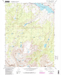
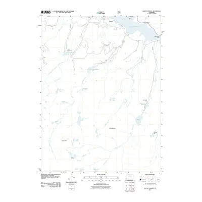
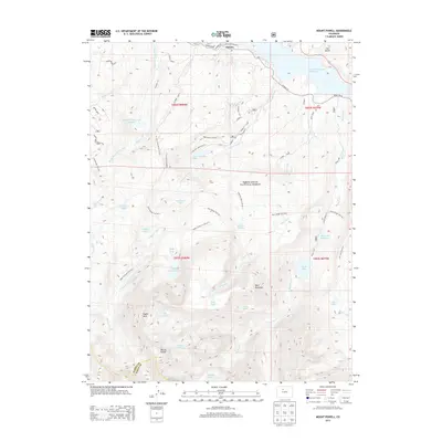
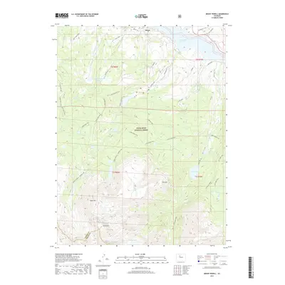
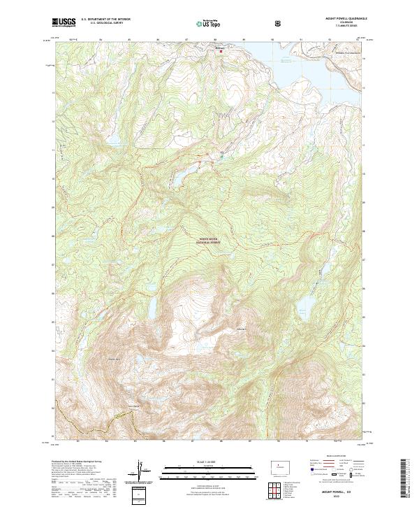
1933 Mount Powell
Summit County, CO

1934 Climax
Summit County, CO
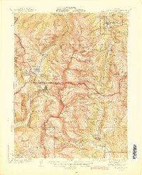
1938 Mount Lincoln
Summit County, CO
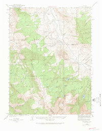
1940 Mount Powell
Summit County, CO
1945 Mt. Lincoln
Summit County, CO
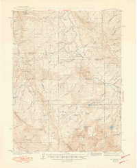
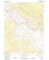
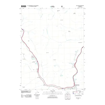
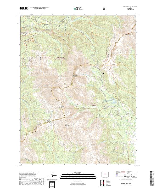
1957 Boreas Pass
Summit County, CO
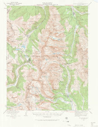
1958 Loveland Pass
Summit County, CO
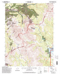
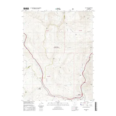
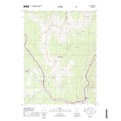
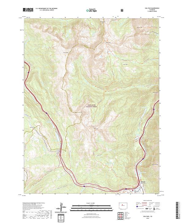
1970 Vail Pass
Summit County, CO
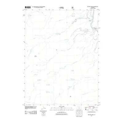
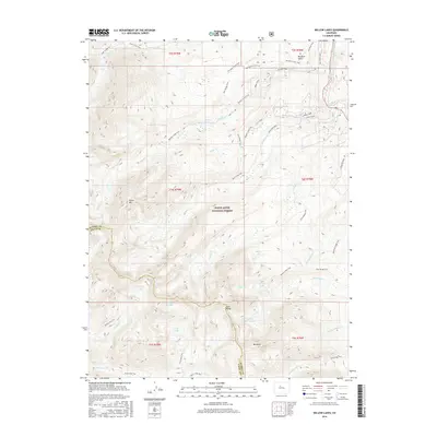
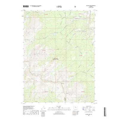
1970 Willow Lakes
Summit County, CO
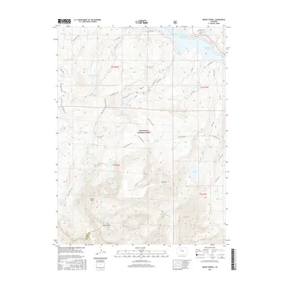
1980 Mount Powell
Summit County, CO
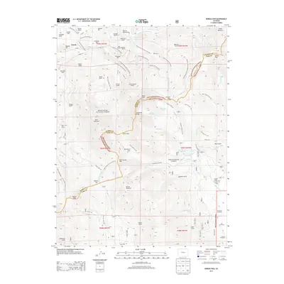
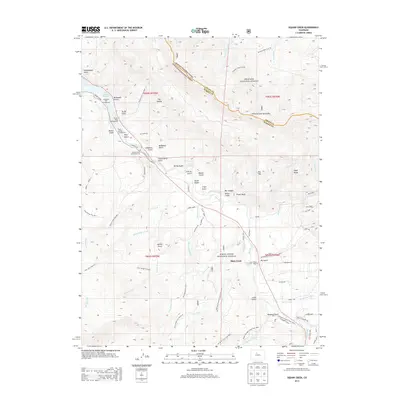
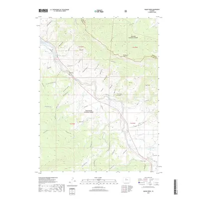
1980 Squaw Creek
Summit County, CO
1994 Boreas Pass
Summit County, CO
2011 Boreas Pass
Summit County, CO

2011 Eagle Roost
Summit County, CO
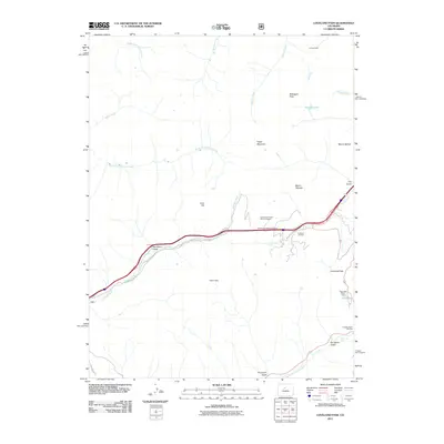
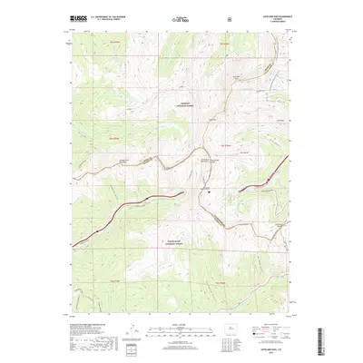
2011 Loveland Pass
Summit County, CO
2011 Mount Powell
Summit County, CO
2011 Vail Pass
Summit County, CO
2011 Willow Lakes
Summit County, CO
2013 Boreas Pass
Summit County, CO
2013 Eagle Roost
Summit County, CO
2013 Loveland Pass
Summit County, CO
2013 Mount Powell
Summit County, CO
2013 Vail Pass
Summit County, CO
2013 Willow Lakes
Summit County, CO
2016 Boreas Pass
Summit County, CO

2016 Eagle Roost
Summit County, CO
2016 Loveland Pass
Summit County, CO
2016 Mount Powell
Summit County, CO
2016 Vail Pass
Summit County, CO
2016 Willow Lakes
Summit County, CO

2019 Boreas Pass
Summit County, CO
2019 Eagle Roost
Summit County, CO
2019 Loveland Pass
Summit County, CO
2019 Mount Powell
Summit County, CO
2019 Vail Pass
Summit County, CO
2019 Willow Lakes
Summit County, CO
2022 Boreas Pass
Summit County, CO
2022 Loveland Pass
Summit County, CO
2022 Mount Powell
Summit County, CO
2022 Vail Pass
Summit County, CO
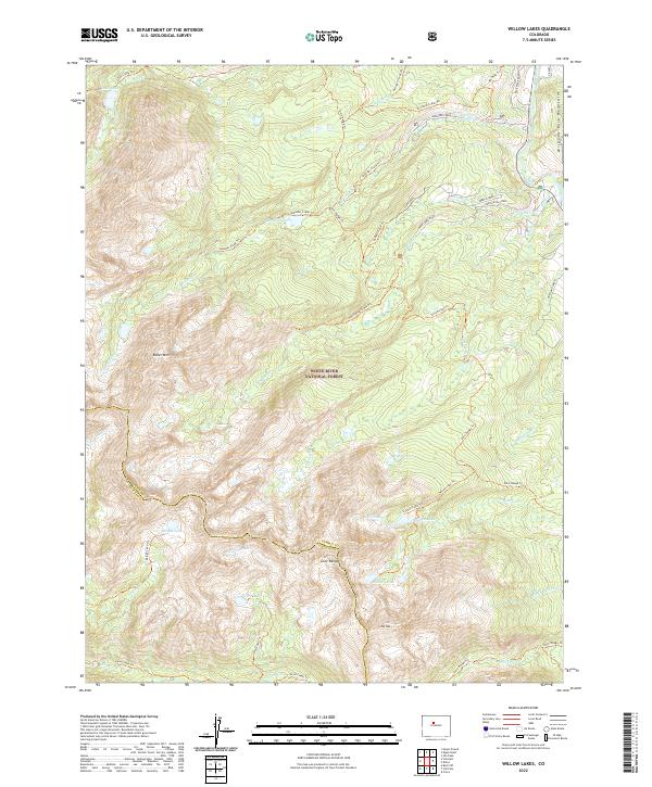
2022 Willow Lakes
Summit County, CO
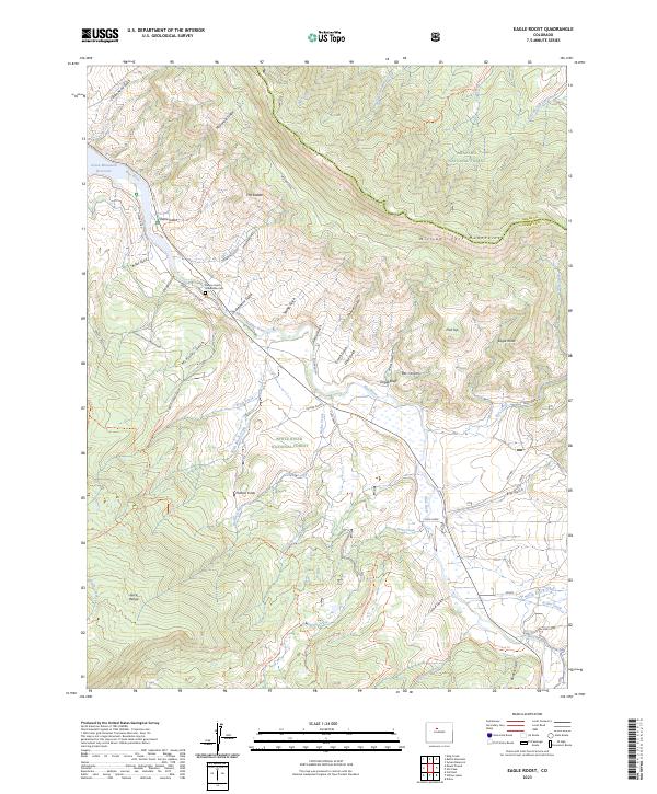
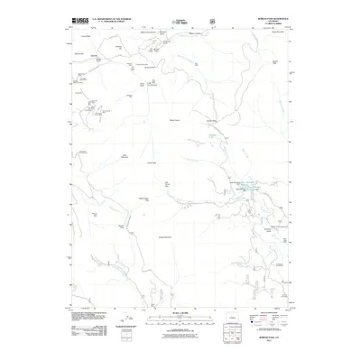
2023 Eagle Roost
Summit County, CO