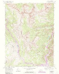
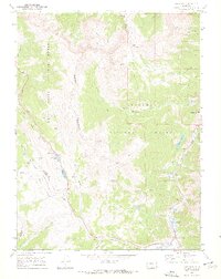
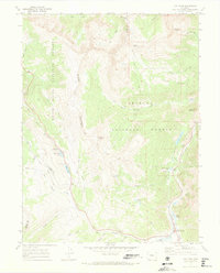
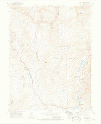
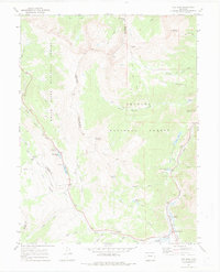
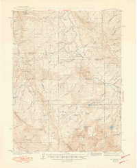
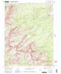
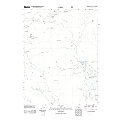
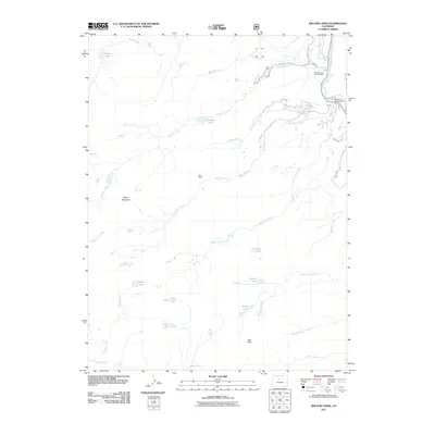
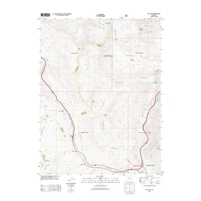
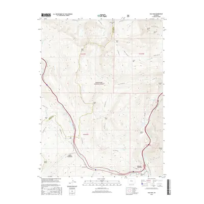
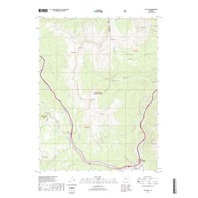
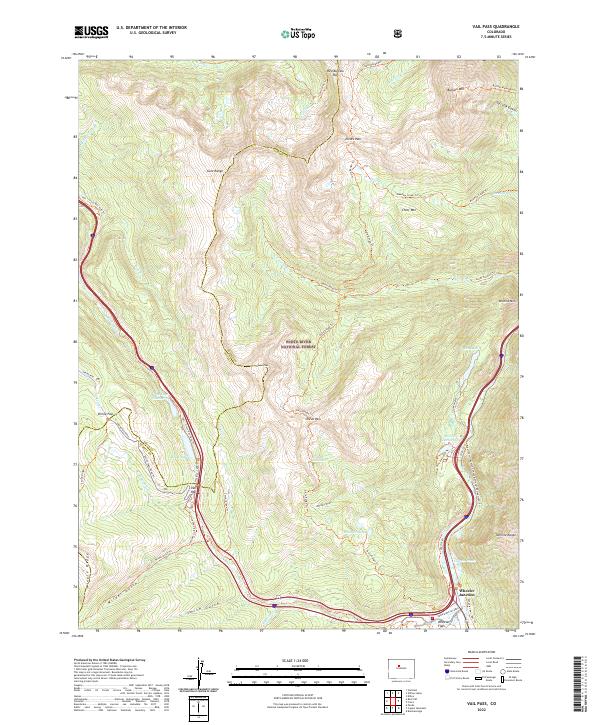
1970 Map of Vail Pass
USGS Topo · Published 1988About this map
Eagles Nest Wilderness and the Gore Range dominate this high-altitude landscape along the boundary of Eagle and Summit counties. Mapped just as Interstate 70 was transforming mountain travel, the survey shows the modern highway infrastructure alongside older high-country routes like Shrine Pass Road and the Colorado Trail. A notable industrial detail is the Tenmile Pipeline, which follows the southern drainage of Tenmile Creek, while a Runaway Truck Ramp on the descent from Vail Pass highlights the engineering challenges of the era.
Find a feature on this map
49 named features on this map. Tap any name to fly to it.
Don’t see what you’re looking for? This feature index may not catch every label — zoom into the map to look around manually.
Map Details
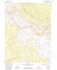
Editions of this 1970 Vail Pass Map
6 editions found
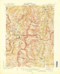
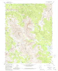
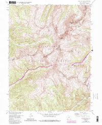
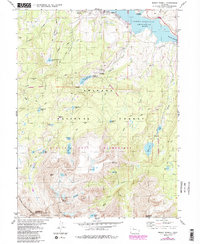
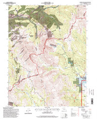
Historical Maps of Copper Mountain Through Time
42 maps found
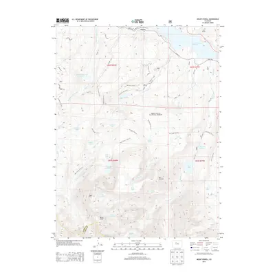
1933 Mount Powell
Summit County, CO

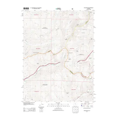
1934 Climax
Summit County, CO
1938 Mount Lincoln
Summit County, CO
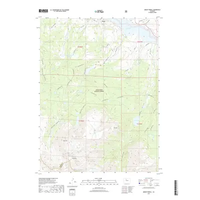
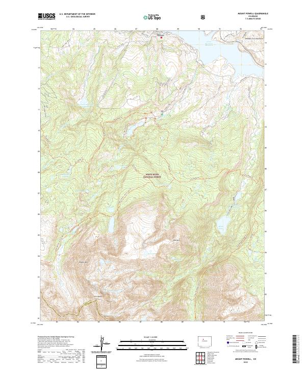
1940 Mount Powell
Summit County, CO
1945 Mt. Lincoln
Summit County, CO
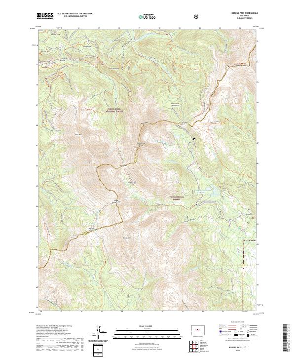
1957 Boreas Pass
Summit County, CO
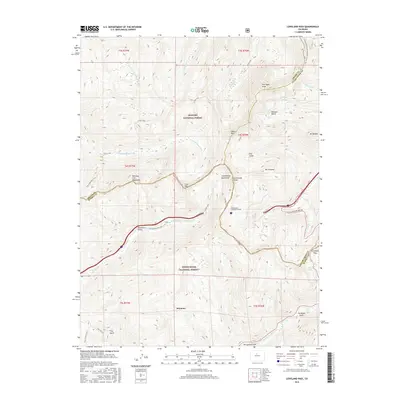
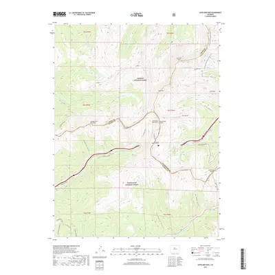
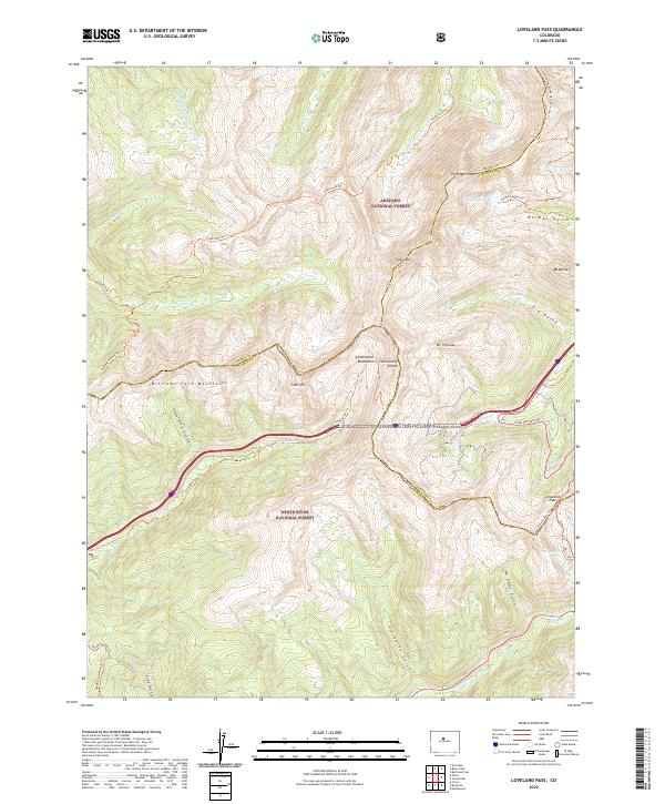
1958 Loveland Pass
Summit County, CO
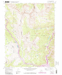
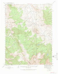
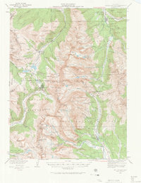
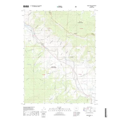
1970 Vail Pass
Summit County, CO
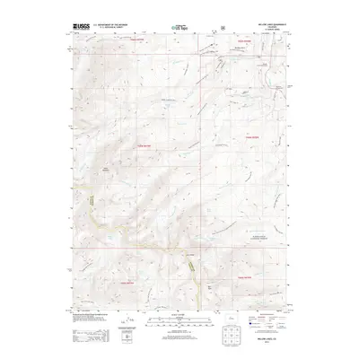
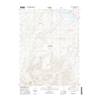
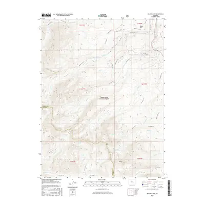
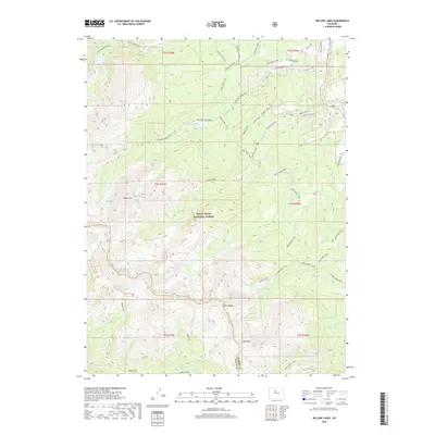
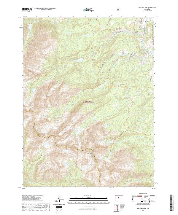
1970 Willow Lakes
Summit County, CO
1980 Mount Powell
Summit County, CO
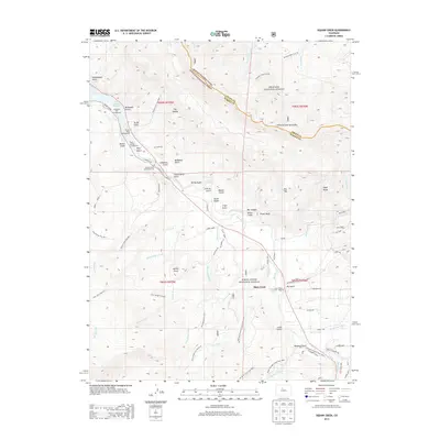
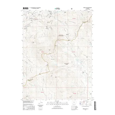
1980 Squaw Creek
Summit County, CO
1994 Boreas Pass
Summit County, CO
2011 Boreas Pass
Summit County, CO

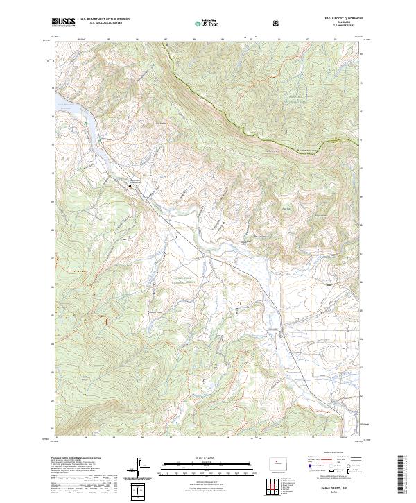
2011 Eagle Roost
Summit County, CO
2011 Loveland Pass
Summit County, CO
2011 Mount Powell
Summit County, CO
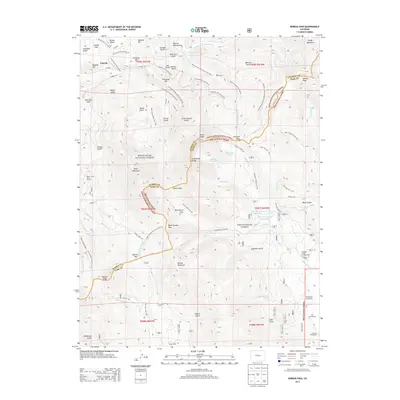
2011 Vail Pass
Summit County, CO
2011 Willow Lakes
Summit County, CO
2013 Boreas Pass
Summit County, CO
2013 Eagle Roost
Summit County, CO
2013 Loveland Pass
Summit County, CO
2013 Mount Powell
Summit County, CO
2013 Vail Pass
Summit County, CO
2013 Willow Lakes
Summit County, CO
2016 Boreas Pass
Summit County, CO

2016 Eagle Roost
Summit County, CO
2016 Loveland Pass
Summit County, CO
2016 Mount Powell
Summit County, CO
2016 Vail Pass
Summit County, CO
2016 Willow Lakes
Summit County, CO

2019 Boreas Pass
Summit County, CO
2019 Eagle Roost
Summit County, CO
2019 Loveland Pass
Summit County, CO
2019 Mount Powell
Summit County, CO
2019 Vail Pass
Summit County, CO
2019 Willow Lakes
Summit County, CO
2022 Boreas Pass
Summit County, CO
2022 Loveland Pass
Summit County, CO
2022 Mount Powell
Summit County, CO
2022 Vail Pass
Summit County, CO
2022 Willow Lakes
Summit County, CO
2023 Eagle Roost
Summit County, CO