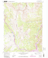
1970 Map of Vail Pass
USGS Topo · Published 1988About this map
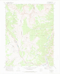
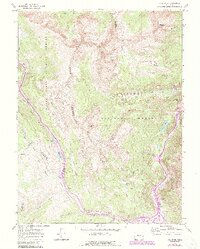
The high-altitude drainage of Gore Creek and Tenmile Creek defines this section of the Gore Range, where the continental divide separates the White River National Forest and Arapaho National Forest. This 1970 survey, updated with 1980s data, documents the rugged infrastructure of the Vail Pass corridor, including the distinctive Runaway Truck Ramp and various rest areas. The map details the primitive Wheeler Trail and Shrine Pass Road, which reflect the region's transition from early mining prospects to a landscape dominated by recreation and wilderness preservation. Scattered markers for a Prospect or Mines near Wheeler Flats and Buffalo Mountain hint at the area's mineral exploration history, while the establishment of the Eagles Nest Wilderness boundary marks a shift toward protected natural heritage.
Find a feature on this map
49 named features on this map. Tap any name to fly to it.
Don’t see what you’re looking for? This feature index may not catch every label — zoom into the map to look around manually.
Map Details
Editions of this 1970 Vail Pass Map
6 editions found
Other maps of this area

1889 · Leadville
USGS Topo · 1:125,000

1891 · Leadville
USGS Topo · 1:125,000

1929 · Dillon
USGS Topo · 1:62,500

1934 · Climax
USGS Topo · 1:48,000

1934 · Minturn
USGS Topo · 1:62,500

1934 · Dillon
USGS Topo · 1:62,500

1938 · Mt. Lincoln
USGS Topo · 1:48,000

1942 · Leadville
USGS Topo · 1:125,000

1945 · Mount Lincoln
USGS Topo · 1:62,500

1949 · Holy Cross
USGS Topo · 1:62,500