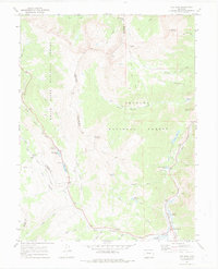
1970 Map of Vail Pass
USGS Topo · Published 1980About this map
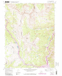
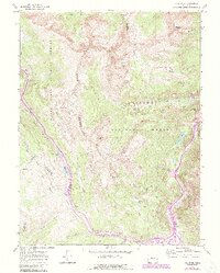
The Gore Range dominates this 1970 topographical study of the high-altitude divide between Eagle and Summit Counties. The terrain is characterized by steep glacial cirques and prominent crossings like Vail Pass and Shrine Pass, which serve as the primary conduits through the central mountains. Historically significant transport corridors are evident, including the Shrine Pass Road and the Wheeler Dillon Trail, tracing paths established long before modern highways. At Wheeler Junction, the confluence of West Tenmile Creek and Tenmile Creek creates a focal point for water management and early infrastructure, including the Tenmile Pipeline. Recreational footprints are visible at Black Lakes Campground and the Officers Gulch Pond, while several noted mines and prospects on the eastern slopes of Wichita Mountain hint at the area's mineral exploration history within the Arapaho National Forest.
Find a feature on this map
45 named features on this map. Tap any name to fly to it.
Don’t see what you’re looking for? This feature index may not catch every label — zoom into the map to look around manually.
Map Details
Editions of this 1970 Vail Pass Map
6 editions found
Other maps of this area

1889 · Leadville
USGS Topo · 1:125,000

1891 · Leadville
USGS Topo · 1:125,000

1929 · Dillon
USGS Topo · 1:62,500

1934 · Climax
USGS Topo · 1:48,000

1934 · Minturn
USGS Topo · 1:62,500

1934 · Dillon
USGS Topo · 1:62,500

1938 · Mt. Lincoln
USGS Topo · 1:48,000

1942 · Leadville
USGS Topo · 1:125,000

1945 · Mount Lincoln
USGS Topo · 1:62,500

1949 · Holy Cross
USGS Topo · 1:62,500