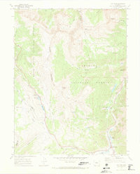
1970 Map of Vail Pass
USGS Topo · Published 1973About this map
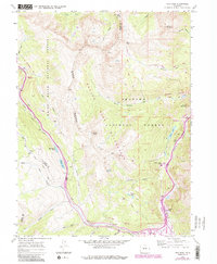
The high alpine Divide between the White River National Forest and Arapaho National Forest defines this landscape in the years following the 1969 aerial survey. At the base of the Gore Range, the intersection of high-altitude travel routes is evident at Vail Pass and Wheeler Junction. The map documents the early 1970s balance between recreation and industry, showing established sites like Black Lake Campground and Officers Gulch Pond Campground alongside active or recent Mines and a network of Jeep Trails. Significant water features like Uneva Lake and the Curtain Ponds sit near the rugged ridgelines of Buffalo Mountain and Uneva Peak. The presence of the Wheeler Trail and Dillon Trail illustrates the importance of these mountain passes for trans-mountain movement before modern highway expansions fully altered the local footprint.
Find a feature on this map
44 named features on this map. Tap any name to fly to it.
Don’t see what you’re looking for? This feature index may not catch every label — zoom into the map to look around manually.
Map Details
Editions of this 1970 Vail Pass Map
6 editions found
Other maps of this area

1889 · Leadville
USGS Topo · 1:125,000

1891 · Leadville
USGS Topo · 1:125,000

1929 · Dillon
USGS Topo · 1:62,500

1934 · Climax
USGS Topo · 1:48,000

1934 · Minturn
USGS Topo · 1:62,500

1934 · Dillon
USGS Topo · 1:62,500

1938 · Mt. Lincoln
USGS Topo · 1:48,000

1942 · Leadville
USGS Topo · 1:125,000

1945 · Mount Lincoln
USGS Topo · 1:62,500

1949 · Holy Cross
USGS Topo · 1:62,500