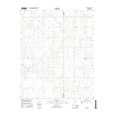
2016 Map of Lovell
USGS Topo · Published 2016About this map
Skeleton Creek and its many tributaries, including Lyon Cr and Spring Cr, carve a complex drainage pattern across the border of Kingfisher and Logan Counties. This agricultural landscape is anchored by the small settlements of Lovell and Roxana, which sit at the intersections of a strictly rectangular section-line road grid. The geography here is defined by these small hubs and the rural cemeteries that serve the surrounding farmsteads. Local history is preserved at sites like Sheridan Cem in the northwest and Oak View Cem near the southern edge. The map captures the persistent rural character of the region, where named waterways like Cottonwood Cr and Rock Cr remain the primary landmarks between isolated clusters of homes and outbuildings connected by routes like Counsel Rd and Rockwell Ave.
Find a feature on this map
39 named features on this map. Tap any name to fly to it.
Don’t see what you’re looking for? This feature index may not catch every label — zoom into the map to look around manually.
Map Details
Editions of this 2016 Lovell Map
This is the sole edition of this map. No revisions or reprints were ever made.
Other maps of this area

1892 · Kingfisher
USGS Topo · 1:125,000

1893 · Lovell
USGS Topo · 1:62,500

1893 · Hennessey
USGS Topo · 1:62,500

1895 · Kingfisher
USGS Topo · 1:125,000

1954 · Oklahoma City
USGS Topo · 1:250,000

1955 · Enid
USGS Topo · 1:250,000

1956 · Hennessey
USGS Topo · 1:62,500

1957 · Oklahoma City
USGS Topo · 1:250,000

1958 · Enid
USGS Topo · 1:250,000

1963 · Oklahoma City
USGS Topo · 1:250,000