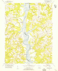
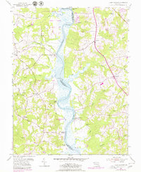
1953 Map of Lower Marlboro
USGS Topo · Published 1956About this map
The Patuxent River serves as the central artery for this mid-century landscape, dividing Prince Georges Co and Calvert Co. During this era, the river's edge was still defined by historic water-access points like Lyons Creek Wharf, White Landing, and Milltown Landing, reflecting a long-standing Chesapeake maritime economy that relied on these small hubs for transport and trade. Inland, the terrain is deeply dissected by numerous drainage systems, including Friday Creek and Hall Creek, which create a complex network of ridges where many of the area's earliest roads and settlements are concentrated.
Find a feature on this map
48 named features on this map. Tap any name to fly to it.
Don’t see what you’re looking for? This feature index may not catch every label — zoom into the map to look around manually.
Map Details
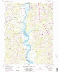
Editions of this 1953 Lower Marlboro Map
6 editions found
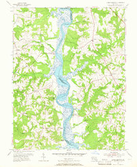
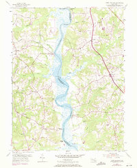
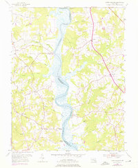
Other maps of this area

1892 · Prince Frederick
USGS Topo · 1:62,500

1892 · Brandywine
USGS Topo · 1:62,500

1892 · Owensville
USGS Topo · 1:62,500

1895 · Prince Frederick
USGS Topo · 1:62,500

1895 · Brandywine
USGS Topo · 1:62,500

1895 · Owensville
USGS Topo · 1:62,500

1899 · Patuxent
USGS Topo · 1:125,000

1900 · Washington
USGS Topo · 1:62,500

1901 · Prince Frederick
USGS Topo · 1:62,500

1905 · Owensville
USGS Topo · 1:62,500