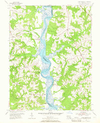
1953 Map of Lower Marlboro
USGS Topo · Published 1966About this map
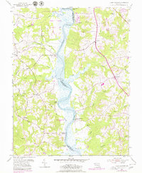
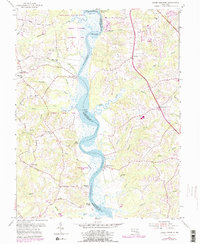
The Patuxent River serves as the central artery for this mid-century survey, dividing the landscapes of Prince Georges and Calvert counties. The shoreline is defined by numerous historic river access points such as Lyons Creek Wharf, White Landing, and Magruder Landing, reflecting an era when the river remained vital for local transport and commerce. Small rural communities like Lower Marlboro and Nottingham anchor the winding road network, which includes family and place-named routes like Magruder Ferry Rd and Naylor Baden Road.
Find a feature on this map
46 named features on this map. Tap any name to fly to it.
Don’t see what you’re looking for? This feature index may not catch every label — zoom into the map to look around manually.
Map Details
Editions of this 1953 Lower Marlboro Map
6 editions found
Other maps of this area

1892 · Prince Frederick
USGS Topo · 1:62,500

1892 · Brandywine
USGS Topo · 1:62,500

1892 · Owensville
USGS Topo · 1:62,500

1895 · Prince Frederick
USGS Topo · 1:62,500

1895 · Brandywine
USGS Topo · 1:62,500

1895 · Owensville
USGS Topo · 1:62,500

1899 · Patuxent
USGS Topo · 1:125,000

1900 · Washington
USGS Topo · 1:62,500

1901 · Prince Frederick
USGS Topo · 1:62,500

1905 · Owensville
USGS Topo · 1:62,500