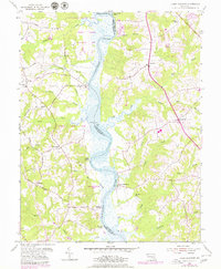
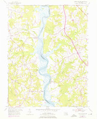
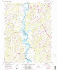
1953 Map of Lower Marlboro
USGS Topo · Published 1979About this map
The Patuxent River serves as the central artery for this mid-century landscape, dividing Prince Georges and Calvert counties. The map captures a riverfront economy transitioning from its colonial landing roots toward modern conservation, evidenced by the large Merkle Wildlife Management Area and Patuxent River Park on the western shore. Historic landings like White Landing, Magruder Landing, and Milltown Landing dot the banks, while inland settlements such as Nottingham, Lower Marlboro, and Chaneyville are connected by a network of winding roads like Magruder Ferry Road. Local genealogy is well-represented through institutions like Brooks Ch, St Johns Ch, and the Chaney Sch, alongside family-named terrain features such as Tanyard Hill and Jones Point. The intricate drainage systems of Hall Creek, Chew Creek, and Friday Creek emphasize the complex hydrology that historically dictated the placement of these early Maryland riverside communities.
Find a feature on this map
51 named features on this map. Tap any name to fly to it.
Don’t see what you’re looking for? This feature index may not catch every label — zoom into the map to look around manually.
Map Details
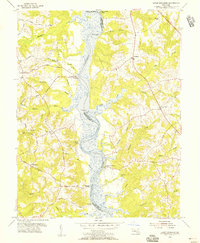
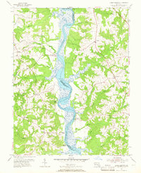
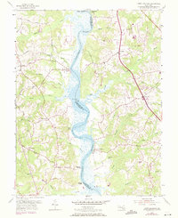
Editions of this 1953 Lower Marlboro Map
6 editions found
Other maps of this area

1892 · Prince Frederick
USGS Topo · 1:62,500

1892 · Brandywine
USGS Topo · 1:62,500

1892 · Owensville
USGS Topo · 1:62,500

1895 · Prince Frederick
USGS Topo · 1:62,500

1895 · Brandywine
USGS Topo · 1:62,500

1895 · Owensville
USGS Topo · 1:62,500

1899 · Patuxent
USGS Topo · 1:125,000

1900 · Washington
USGS Topo · 1:62,500

1901 · Prince Frederick
USGS Topo · 1:62,500

1905 · Owensville
USGS Topo · 1:62,500