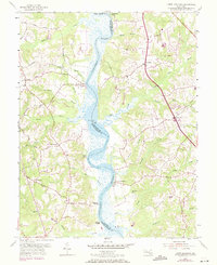
1953 Map of Lower Marlboro
USGS Topo · Published 1971About this map
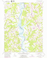
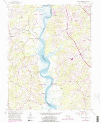
The Patuxent River serves as the central artery for this mid-century survey, dividing Prince Georges and Calvert counties. The map documents a landscape defined by its riverine economy and historical landings, where traditional waterfront sites like Lyons Creek Wharf, Magruder Landing, and Milltown Landing remain prominent features. These locations, alongside White Landing, suggest a legacy of maritime transport and trade that anchored local communities long before modern road networks dominated the region.
Find a feature on this map
44 named features on this map. Tap any name to fly to it.
Don’t see what you’re looking for? This feature index may not catch every label — zoom into the map to look around manually.
Map Details
Editions of this 1953 Lower Marlboro Map
6 editions found
Other maps of this area

1892 · Prince Frederick
USGS Topo · 1:62,500

1892 · Brandywine
USGS Topo · 1:62,500

1892 · Owensville
USGS Topo · 1:62,500

1895 · Prince Frederick
USGS Topo · 1:62,500

1895 · Brandywine
USGS Topo · 1:62,500

1895 · Owensville
USGS Topo · 1:62,500

1899 · Patuxent
USGS Topo · 1:125,000

1900 · Washington
USGS Topo · 1:62,500

1901 · Prince Frederick
USGS Topo · 1:62,500

1905 · Owensville
USGS Topo · 1:62,500