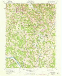
1961 Map of Lower Salem
USGS Topo · Published 1973About this map
The convergence of West Fork Duck Creek and East Fork Duck Creek near Lower Salem anchor this landscape during a period of infrastructure revision. The topography of Washington and Noble Counties is deeply etched by watercourses like Pawpaw Creek and Bear Creek, which historically dictated the paths of the Penn Central and Baltimore and Ohio railroads. Settlement patterns in the early 1970s remained tied to these valley corridors, while the presence of a strip mine and several oil wells signifies the region's extractive activity.
Find a feature on this map
39 named features on this map. Tap any name to fly to it.
Don’t see what you’re looking for? This feature index may not catch every label — zoom into the map to look around manually.
Map Details
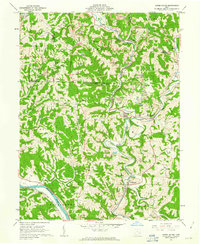
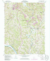
Editions of this 1961 Lower Salem Map
3 editions found
Other maps of this area

1902 · Parkersburg
USGS Topo · 1:62,500

1903 · Macksburg
USGS Topo · 1:62,500

1904 · Parkersburg
USGS Topo · 1:62,500

1904 · Marietta
USGS Topo · 1:62,500

1905 · Macksburg
USGS Topo · 1:62,500

1909 · Caldwell
USGS Topo · 1:62,500

1912 · Caldwell
USGS Topo · 1:62,500

1924 · Marietta
USGS Topo · 1:62,500

1927 · Marietta
USGS Topo · 1:62,500

1949 · Clarksburg
USGS Topo · 1:250,000