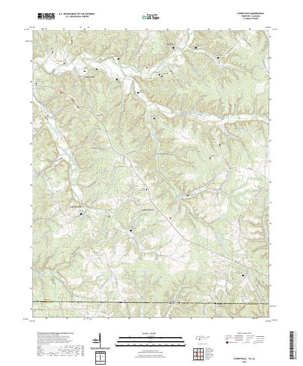
2022 Map of Lowryville
USGS Topo · Published 2022About this map
Lowryville and the surrounding rural communities of Hardin County are defined by a complex landscape of narrow valleys and ridges that cross the Tennessee Alabama state line. This 2022 survey captures the persistent rural character of the region, where settlement is concentrated in places like Walnut Grove and Big Ivy rather than along the high ground of Manbone Ridge. The mapping reveals a high density of small family and community burial grounds, such as Franks Store Cem and Cherry Chapel Cem, which often serve as the primary markers of historic social centers in these hollows.
Find a feature on this map
102 named features on this map. Tap any name to fly to it.
Don’t see what you’re looking for? This feature index may not catch every label — zoom into the map to look around manually.
Map Details
Editions of this 2022 Lowryville Map
This is the sole edition of this map. No revisions or reprints were ever made.
Historical Maps of Alabama Through Time
23 maps found

1936 Hookers Bend
Hardin County, TN

1936 Lowryville
Hardin County, TN

1936 Olivehill
Hardin County, TN

1936 Pickwick
Hardin County, TN

1936 Pittsburg Landing
Hardin County, TN

1936 Wolf Pit Ridge
Hardin County, TN
1949 Hookers Bend
Hardin County, TN
1949 Lowryville
Hardin County, TN
1949 Olivehill
Hardin County, TN
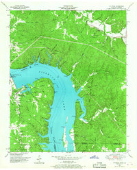
1949 Pickwick
Hardin County, TN

1949 Pittsburg Landing
Hardin County, TN
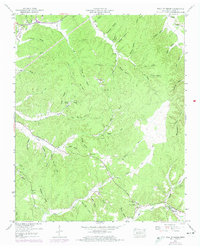
1949 Wolf Pit Ridge
Hardin County, TN
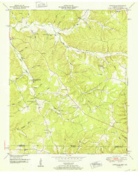
1952 Lowryville
Hardin County, TN
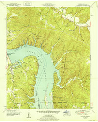
1952 Pickwick
Hardin County, TN
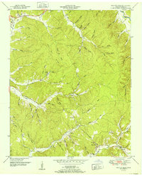
1952 Wolf Pit Ridge
Hardin County, TN
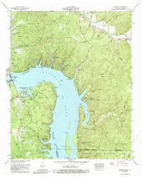
1972 Pickwick
Hardin County, TN
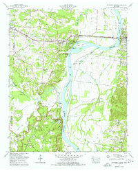
1972 Pittsburg Landing
Hardin County, TN
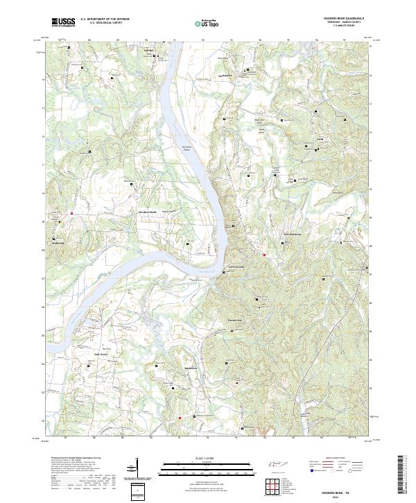
2022 Hookers Bend
Hardin County, TN
2022 Lowryville
Hardin County, TN
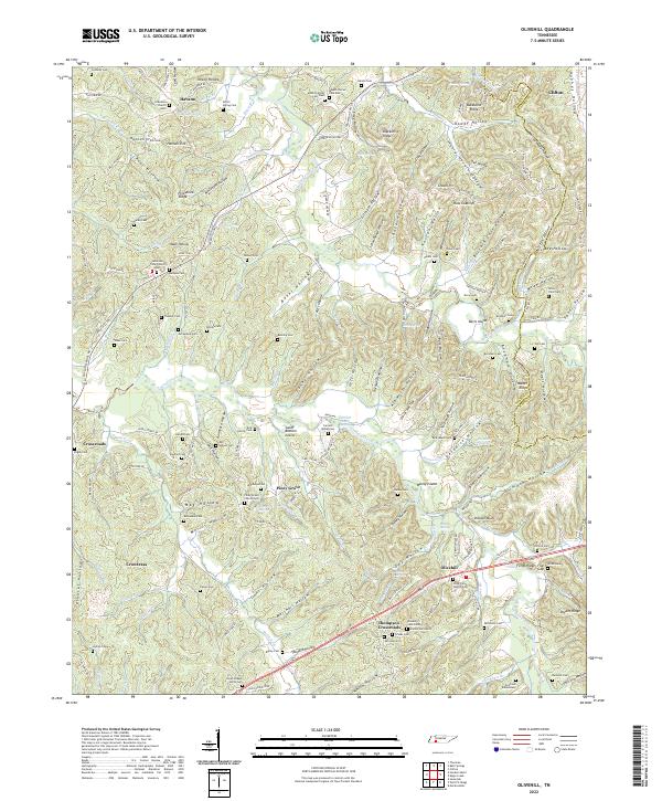
2022 Olivehill
Hardin County, TN
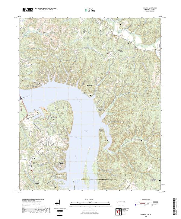
2022 Pickwick
Hardin County, TN
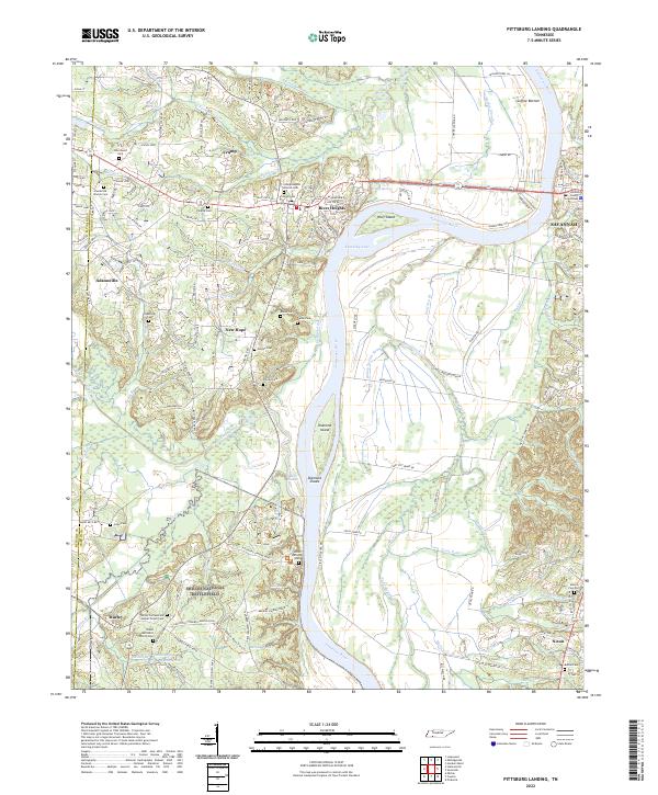
2022 Pittsburg Landing
Hardin County, TN
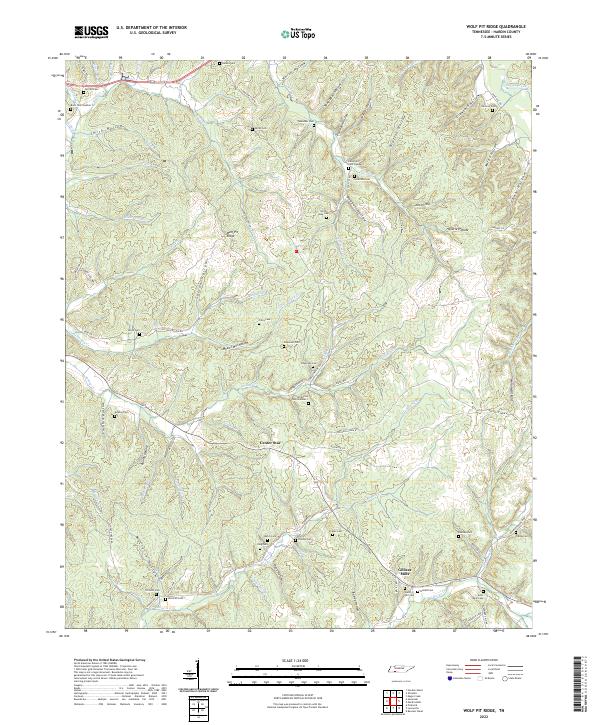
2022 Wolf Pit Ridge
Hardin County, TN