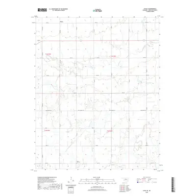
2018 Map of Loyal SE
USGS Topo · Published 2018About this map
Alpha sits at the northern edge of this Kingfisher County landscape, where the local road network follows the rigid section lines of the Public Land Survey System. The terrain is defined by the winding paths of Kingfisher Cr and Winter Camp Cr, which cut through the agricultural plains. A notable landmark for family historians is the Mount Pisgah Cem located in the southern portion of the quadrangle near the junction of N2760 Rd and E0870 Rd. The map illustrates a rural environment shaped by drainage patterns and gravel roads like Park Community Rd, maintaining a sparse settlement pattern characteristic of this part of Oklahoma.
Find a feature on this map
26 named features on this map. Tap any name to fly to it.
Don’t see what you’re looking for? This feature index may not catch every label — zoom into the map to look around manually.
Map Details
Editions of this 2018 Loyal SE Map
This is the sole edition of this map. No revisions or reprints were ever made.
Other maps of this area
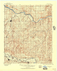
1892 · Kingfisher
USGS Topo · 1:125,000
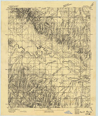
1893 · Fort Reno
USGS Topo · 1:62,500
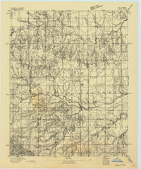
1893 · Loyal
USGS Topo · 1:62,500
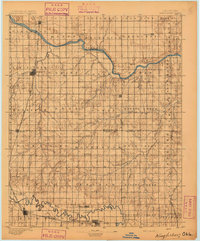
1895 · Kingfisher
USGS Topo · 1:125,000
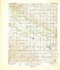
1941 · Fort Reno
USGS Topo · 1:62,500
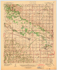
1942 · Fort Reno
USGS Topo · 1:62,500
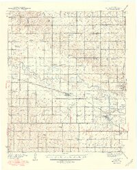
1949 · Fort Reno
USGS Topo · 1:62,500
1954 · Oklahoma City
USGS Topo · 1:250,000

1955 · Clinton
USGS Topo · 1:250,000

1957 · Clinton
USGS Topo · 1:250,000