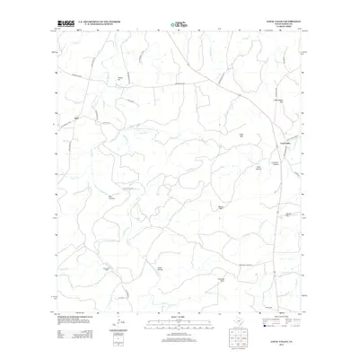
2012 Map of Loyal Valley
USGS Topo · Published 2012About this map
Loyal Valley and the smaller settlement of Hilda sit at the center of this Texas landscape defined by limestone elevations and seasonal creek beds. The terrain is marked by prominent peaks such as Loyal Mtn, Meusebach Mtn, and Turkey Hill, which dictate the winding paths of rural routes like Simonsville Rd and Ranch Road 783. These roads often follow the natural drainage patterns established by Beaver Cr and Threadgill Cr.
Find a feature on this map
51 named features on this map. Tap any name to fly to it.
Don’t see what you’re looking for? This feature index may not catch every label — zoom into the map to look around manually.
Map Details
Editions of this 2012 Loyal Valley Map
This is the sole edition of this map. No revisions or reprints were ever made.
Other maps of this area
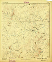
1887 · Llano
USGS Topo · 1:125,000
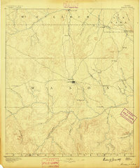
1887 · Mason
USGS Topo · 1:125,000
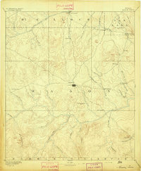
1894 · Mason
USGS Topo · 1:125,000
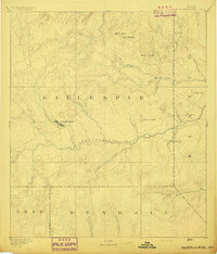
1894 · Fredericksburg
USGS Topo · 1:125,000
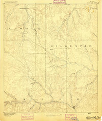
1894 · Kerrville
USGS Topo · 1:125,000
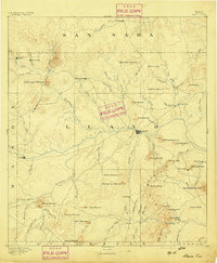
1894 · Llano
USGS Topo · 1:125,000
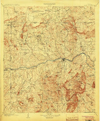
1904 · Llano
USGS Topo · 1:125,000
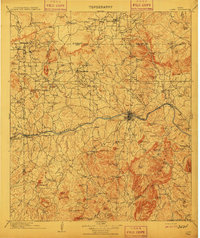
1909 · Llano
USGS Topo · 1:125,000
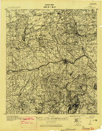
1918 · Llano
USGS Topo · 1:125,000
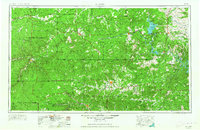
1954 · Llano
USGS Topo · 1:250,000