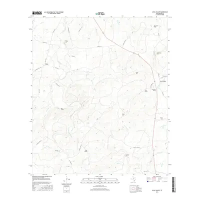
2016 Map of Loyal Valley
USGS Topo · Published 2016About this map
Loyal Valley and Hilda anchor this Mason County landscape, where the Central Texas hill country transitions into a network of prominent ridges and creek-fed canyons. Elevation changes are defined by landmarks such as Meusebach Ridge and Loyal Mtn, while Beaver Cr and Threadgill Cr carve through the terrain, creating named features like Blue Canyon and Cedar Hollow. This area reflects a long history of rural settlement, evidenced by family-named landmarks and the presence of the Ellerbracht Cem and Kothe Cem. The map illustrates a landscape where ranch roads like Ranch Rd 783 connect remote homesteads to established locales such as Spring Hill, following the natural contours of the land.
Find a feature on this map
49 named features on this map. Tap any name to fly to it.
Don’t see what you’re looking for? This feature index may not catch every label — zoom into the map to look around manually.
Map Details
Editions of this 2016 Loyal Valley Map
This is the sole edition of this map. No revisions or reprints were ever made.
Other maps of this area
1887 · Llano
USGS Topo · 1:125,000
1887 · Mason
USGS Topo · 1:125,000
1894 · Mason
USGS Topo · 1:125,000
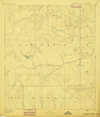
1894 · Fredericksburg
USGS Topo · 1:125,000
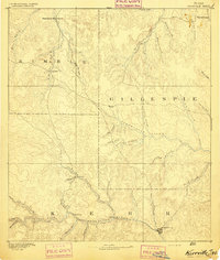
1894 · Kerrville
USGS Topo · 1:125,000
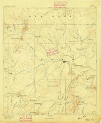
1894 · Llano
USGS Topo · 1:125,000
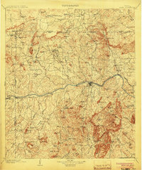
1904 · Llano
USGS Topo · 1:125,000
1909 · Llano
USGS Topo · 1:125,000
1918 · Llano
USGS Topo · 1:125,000
1954 · Llano
USGS Topo · 1:250,000