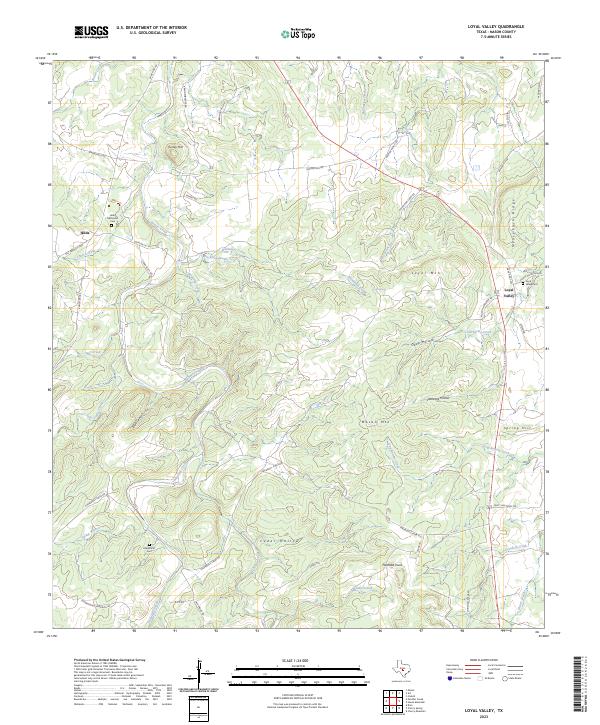
2023 Map of Loyal Valley
USGS Topo · Published 2023About this map
The settlement of Loyal Valley stands as a focal point in this portion of Mason County, where the Texas Hill Country terrain is defined by significant elevations like Meusebach Ridge and Loyal Mtn. For genealogists, the map is a vital resource, documenting the Loyal Valley Cem, the Hilda Methodist Cem near the community of Hilda, and the more secluded Ellerbracht Cem.
Find a feature on this map
61 named features on this map. Tap any name to fly to it.
Don’t see what you’re looking for? This feature index may not catch every label — zoom into the map to look around manually.
Map Details
Editions of this 2023 Loyal Valley Map
This is the sole edition of this map. No revisions or reprints were ever made.
Other maps of this area
1887 · Llano
USGS Topo · 1:125,000
1887 · Mason
USGS Topo · 1:125,000
1894 · Mason
USGS Topo · 1:125,000
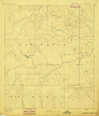
1894 · Fredericksburg
USGS Topo · 1:125,000
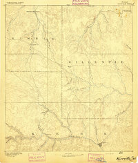
1894 · Kerrville
USGS Topo · 1:125,000
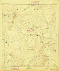
1894 · Llano
USGS Topo · 1:125,000
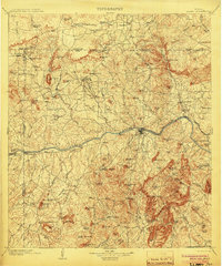
1904 · Llano
USGS Topo · 1:125,000
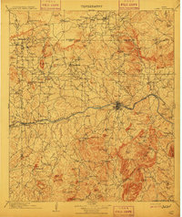
1909 · Llano
USGS Topo · 1:125,000
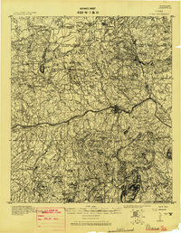
1918 · Llano
USGS Topo · 1:125,000
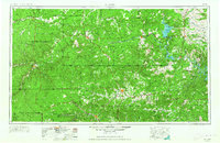
1954 · Llano
USGS Topo · 1:250,000