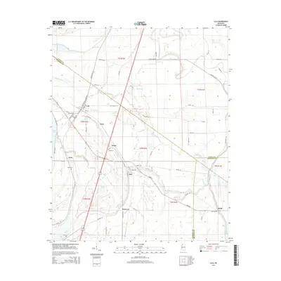
2015 Map of Lula
USGS Topo · Published 2015About this map
Lula and the surrounding Mississippi Delta landscape are defined by a complex network of bayous and remnant river channels. The town serves as a focal point near the confluence of Lula-Moon Lake Rd and Old Highway 61 S, marking a transition between the cultivated flats and the oxbow waters of Moon Lake. Small rural communities and agricultural hubs like Carter, Barbee, and Roseacres are scattered across the terrain, linked by a grid of local roads such as Lula Rich Rd and Birdie Rd.
Find a feature on this map
75 named features on this map. Tap any name to fly to it.
Don’t see what you’re looking for? This feature index may not catch every label — zoom into the map to look around manually.
Map Details
Editions of this 2015 Lula Map
This is the sole edition of this map. No revisions or reprints were ever made.
Other maps of this area

1908 · Lula
USGS Topo · 1:24,000

1908 · Dundee
USGS Topo · 1:24,000

1908 · Coahoma
USGS Topo · 1:24,000

1908 · Moon Lake
USGS Topo · 1:24,000

1908 · Jonestown
USGS Topo · 1:24,000

1908 · Walnut Lake
USGS Topo · 1:24,000

1910 · Dundee
USGS Topo · 1:31,680

1910 · Coahoma
USGS Topo · 1:31,680

1910 · Walnut Lake
USGS Topo · 1:31,680

1910 · Jonestown
USGS Topo · 1:31,680