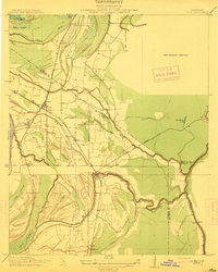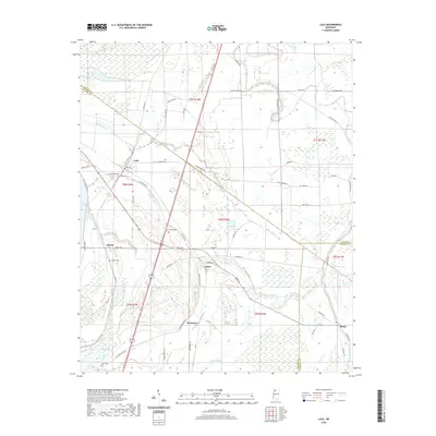
1969 Map of Lula
USGS Topo · Published 1971About this map
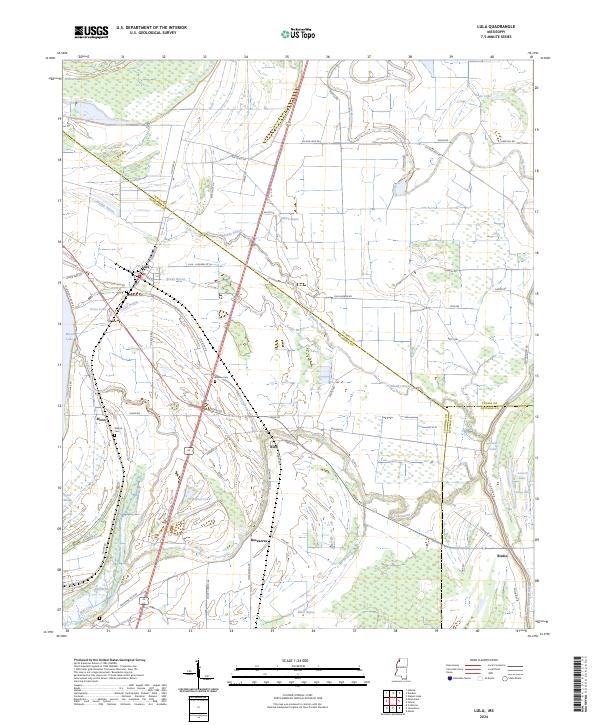
The Illinois Central railroad corridor anchors this survey of the Mississippi Delta landscape, where the town of Lula and the smaller settlement of Rich sit amidst a complex network of bayous and cypress brakes. The map documents a deeply layered local history, from the ancient Indian Mound near Mill Creek to the Indian Treaty Boundary that cuts diagonally across the floodplains. Genealogists will find significant detail in the numerous country churches and burial grounds, including Bethlehem Cem, Barbee Cem, and Dickerson Chapel Cem. Water defines the region's geography, with the prominent sweep of Moon Lake and the Yazoo Pass illustrating the hydrologic history of the Yazoo-Mississippi Delta. The landscape is a mix of agricultural fields and low-lying wetlands like Carr Brake and Hult Brake, reflecting the area's long-standing relationship with the Mississippi River's seasonal cycles.
Find a feature on this map
52 named features on this map. Tap any name to fly to it.
Don’t see what you’re looking for? This feature index may not catch every label — zoom into the map to look around manually.
Map Details
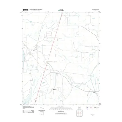
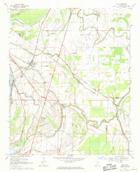
Editions of this 1969 Lula Map
This is the sole edition of this map. No revisions or reprints were ever made.
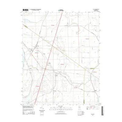
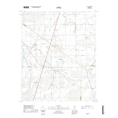
Historical Maps of Lula Through Time
8 maps found