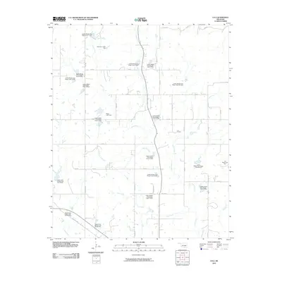
2009 Map of Lula
USGS Topo · Published 2009About this map
Leader Creek and its many tributaries define the hydrology of this Pontotoc County landscape, which is heavily managed by an extensive network of flood control structures. The sheer number of named dams, such as Leader Middle Clear Boggy Creek 21 Dam and the Upper Clear Boggy Creek Site 50 Dam, indicates a highly engineered watershed designed to manage the flow of Bully Creek, Sandy Creek, and Bois d'Arc Creek. These small reservoirs create a unique pattern of water bodies scattered across the rural acreage.
Find a feature on this map
55 named features on this map. Tap any name to fly to it.
Don’t see what you’re looking for? This feature index may not catch every label — zoom into the map to look around manually.
Map Details
Editions of this 2009 Lula Map
This is the sole edition of this map. No revisions or reprints were ever made.
Other maps of this area

1896 · Coalgate
USGS Topo · 1:125,000

1899 · Coalgate
USGS Topo · 1:125,000

1900 · Coalgate
USGS Topo · 1:125,000

1901 · Stonewall
USGS Topo · 1:125,000

1957 · Stonewall
USGS Topo · 1:24,000

1957 · Centrahoma
USGS Topo · 1:24,000

1957 · Tupelo NE
USGS Topo · 1:24,000

1957 · Ardmore
USGS Topo · 1:250,000

1958 · Lula
USGS Topo · 1:24,000

1958 · Francis
USGS Topo · 1:24,000