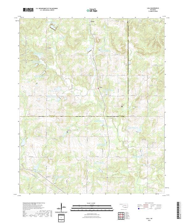
2022 Map of Lula
USGS Topo · Published 2022About this map
The small community of Lula sits at the center of this landscape, positioned along the border between Pontotoc and Coal Counties. This rural area is defined by an intricate network of waterways and managed reservoirs, most notably the numerous sites along Leader Cr such as Leader Middle Clear Boggy Cr 15 Reservoir and Leader Middle Clear Boggy Cr 24 Reservoir. The settlement pattern follows the sections and county roads, with small hamlets like Leader and Jaydee connected by routes such as Co RD 1580 and e159 RD.
Find a feature on this map
79 named features on this map. Tap any name to fly to it.
Don’t see what you’re looking for? This feature index may not catch every label — zoom into the map to look around manually.
Map Details
Editions of this 2022 Lula Map
This is the sole edition of this map. No revisions or reprints were ever made.
Other maps of this area

1896 · Coalgate
USGS Topo · 1:125,000

1899 · Coalgate
USGS Topo · 1:125,000

1900 · Coalgate
USGS Topo · 1:125,000

1901 · Stonewall
USGS Topo · 1:125,000

1957 · Stonewall
USGS Topo · 1:24,000

1957 · Centrahoma
USGS Topo · 1:24,000

1957 · Tupelo NE
USGS Topo · 1:24,000

1957 · Ardmore
USGS Topo · 1:250,000

1958 · Lula
USGS Topo · 1:24,000

1958 · Francis
USGS Topo · 1:24,000