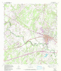
1964 Map of Luling
USGS Topo · Published 1994About this map
The Dunlap Oil Field defines much of this South Texas landscape, where industrial petroleum extraction meets the winding course of the San Marcos River. Revised in the mid-1980s, the map reveals a complex network of pipelines and pumping stations serving the local economy around Luling. This area is rich in family and community history, evidenced by a high density of small burial grounds such as Prairie Lea Cem, Kelly Cem, and the Highsmith Cemeteries. To the north, Stairtown sits near the crossing of Seals Creek, while the presence of the Rosenwald Sch and churches like San Juan Ch and St John Ch highlight the area's established rural social fabric. The physical geography is marked by the convergence of the river with tributaries like Plum Creek and Brushy Cr, creating a landscape dotted with tanks and utility infrastructure characteristic of the Texas oil belt.
Find a feature on this map
37 named features on this map. Tap any name to fly to it.
Don’t see what you’re looking for? This feature index may not catch every label — zoom into the map to look around manually.
Map Details
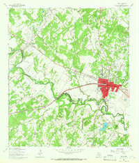
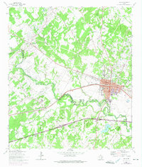
Editions of this 1964 Luling Map
3 editions found
Other maps of this area

1911 · San Marcos
USGS Topo · 1:125,000

1919 · San Marcos
USGS Topo · 1:125,000

1924 · San Marcos 3-d
USGS Topo · 1:48,000

1925 · San Marcos 4-c
USGS Topo · 1:48,000

1925 · San Marcos 1-d
USGS Topo · 1:48,000

1925 · San Marcos 4-a
USGS Topo · 1:48,000

1929 · Luling
USGS Topo · 1:62,500

1930 · Lockhart
USGS Topo · 1:62,500

1930 · Seguin
USGS Topo · 1:62,500

1953 · Seguin
USGS Topo · 1:250,000