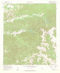
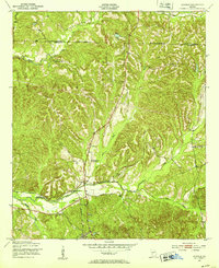
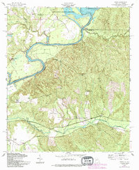
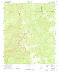
1955 Map of Lumpkin SW
USGS Topo · Published 1959This historical map portrays the area of Lumpkin SW in 1955, primarily covering Stewart County. Featuring a scale of 1:24000, this map provides a highly detailed snapshot of the terrain, roads, buildings, counties, and historical landmarks in the Lumpkin SW region at the time. Published in 1959, it is one of 4 known editions of this map due to revisions or reprints.
Find a feature on this map
25 named features on this map. Tap any name to fly to it.
Don’t see what you’re looking for? This feature index may not catch every label — zoom into the map to look around manually.
Map Details
Editions of this 1955 Lumpkin SW Map
4 editions found
Historical Maps of Stewart County Through Time
10 maps found
1949 Julia
Stewart County, GA
1950 Louvale
Stewart County, GA
1950 Lumpkin SW
Stewart County, GA
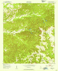
1955 Louvale
Stewart County, GA
1955 Lumpkin SW
Stewart County, GA
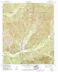
1955 Union
Stewart County, GA
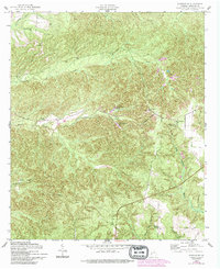
1957 Omaha
Stewart County, GA
1972 Benevolence
Stewart County, GA
1972 County Line
Stewart County, GA
1973 Brooklyn
Stewart County, GA