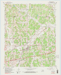
1966 Map of Luther
USGS Topo · Published 1983About this map
Luther serves as the focal point of this mid-1960s landscape, where the town’s development is closely tied to the convergence of the St Louis - San Francisco and Missouri - Kansas - Texas railroads. The topography is defined by the winding course of the Deep Fork river and its tributaries, including Wildhorse Creek and Coon Creek. Evidence of the region's energy economy is pervasive, with the Luther Oil and Gas Field and West Luther Oil and Gas Field dotting the countryside with numerous oil wells and pipelines.
Find a feature on this map
41 named features on this map. Tap any name to fly to it.
Don’t see what you’re looking for? This feature index may not catch every label — zoom into the map to look around manually.
Map Details
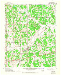
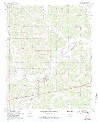
Editions of this 1966 Luther Map
3 editions found
Other maps of this area

1892 · Guthrie
USGS Topo · 1:62,500

1892 · Edmond
USGS Topo · 1:62,500

1909 · Luther
USGS Topo · 1:62,500

1909 · Perkins
USGS Topo · 1:62,500

1935 · Edmond
USGS Topo · 1:48,000

1940 · Edmond
USGS Topo · 1:62,500

1954 · Oklahoma City
USGS Topo · 1:250,000
1955 · Jones
USGS Topo · 1:24,000

1956 · Horseshoe Lake
USGS Topo · 1:24,000

1957 · Oklahoma City
USGS Topo · 1:250,000