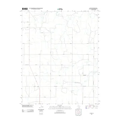
2012 Map of Lutie
USGS Topo · Published 2012About this map
Lutie and Aberdeen anchor this corner of the Texas Panhandle, positioned within a landscape defined by the drainage systems of the eastern rolling plains. The terrain is deeply etched by Wolf Cr and its tributaries, including Corral Cr and Elm Cr, which flow generally eastward toward the state line. A notable hydrological feature is Wolf Creek Springs, situated north of the Aberdeen settlement. The mapping reflects a transition from earlier ranching trails to a formalized grid of county roads and specific state-maintained routes like Farm-To-Market Road 1439 and Ranch Road 1036. This network illustrates the enduring rural infrastructure that supports the region's agricultural and ranching operations, with the roads often following the section lines established by early surveys.
Find a feature on this map
24 named features on this map. Tap any name to fly to it.
Don’t see what you’re looking for? This feature index may not catch every label — zoom into the map to look around manually.
Map Details
Editions of this 2012 Lutie Map
This is the sole edition of this map. No revisions or reprints were ever made.
Other maps of this area

1954 · Amarillo
USGS Topo · 1:250,000

1954 · Plainview
USGS Topo · 1:250,000

1958 · Amarillo
USGS Topo · 1:250,000

1958 · Plainview
USGS Topo · 1:250,000

1959 · Wellington NW
USGS Topo · 1:24,000

1959 · Shinnery Creek
USGS Topo · 1:24,000

1963 · Fulller
USGS Topo · 1:24,000

1963 · Shamrock East
USGS Topo · 1:24,000

1963 · Shamrock West
USGS Topo · 1:24,000

1963 · Little Wolf Creek
USGS Topo · 1:24,000