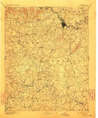
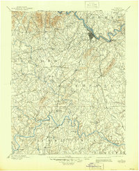
1892 Map of Lynchburg
USGS Topo · Published 1911About this map
Lynchburg serves as the industrial and transit nucleus of this late nineteenth-century Piedmont landscape, where the James River and several major rail lines converge. The river corridor is defined by vital infrastructure like the C. & O. Ry. and the Norfolk and Western Railroad, while the surrounding hill country in Campbell and Bedford counties is dotted with small rural communities and educational landmarks like Salem Academy.
Find a feature on this map
132 named features on this map. Tap any name to fly to it.
Don’t see what you’re looking for? This feature index may not catch every label — zoom into the map to look around manually.
Map Details
Editions of this 1892 Lynchburg Map
6 editions found
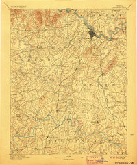
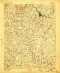
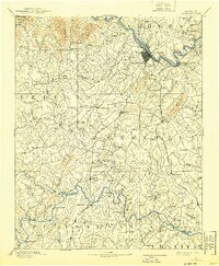
Other maps of this area

1890 · Roanoke
USGS Topo · 1:125,000

1891 · Roanoke
USGS Topo · 1:125,000

1892 · Lynchburg
USGS Topo · 1:125,000

1892 · Buckingham
USGS Topo · 1:125,000

1892 · Appomattox
USGS Topo · 1:125,000

1894 · Natural Bridge
USGS Topo · 1:125,000

1894 · Lexington
USGS Topo · 1:125,000

1894 · Natural Bridge
USGS Topo · 1:62,500

1907 · Natural Bridge Special
USGS Topo · 1:62,500

1921 · Chatham
USGS Topo · 1:48,000