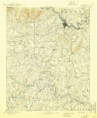
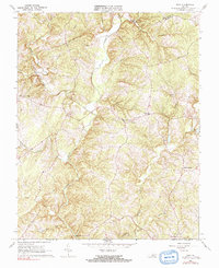
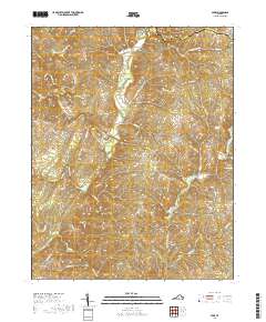
1892 Map of Lynchburg
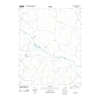
USGS Topo · Published 1940About this map
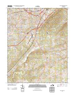
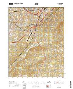
The James River and Roanoke River systems dominate this central Virginia landscape, defining a region of early industrial and transit development surveyed in 1890. Lynchburg serves as the primary hub, where the Norfolk and Western Rail Road and the Lynchburg and Durham Rail Road converge near the river's distinctive bends. The interior of Campbell and Bedford counties is marked by a network of rural settlements like Rustburg, Goode, and Evington, often connected by historic thoroughfares like Wards Road. A significant reliance on river travel is evident from the numerous river crossings, including Wards Road Ferry, McKeever Ferry, and Tolers Ferry. Educational and religious sites, such as Salem Academy and Mt. Zion church, appear alongside early landmarks like the resort at Bedford Spr., reflecting the social structure of the late 19th-century Piedmont.
Find a feature on this map
127 named features on this map. Tap any name to fly to it.
Don’t see what you’re looking for? This feature index may not catch every label — zoom into the map to look around manually.
Map Details
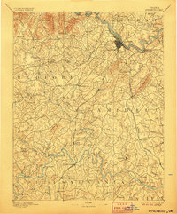
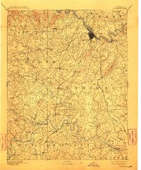
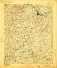
Editions of this 1892 Lynchburg Map
6 editions found

Historical Maps of Lynchburg Through Time
40 maps found
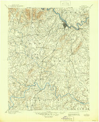
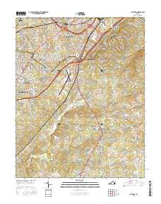
1892 Lynchburg
Campbell County, VA
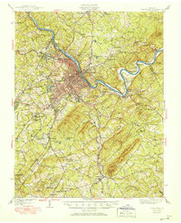
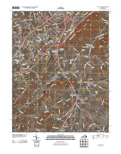
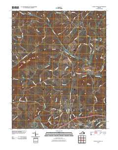
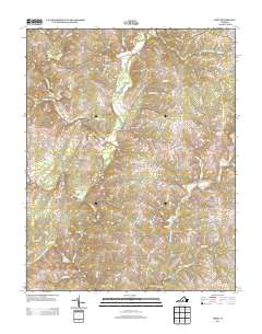
1944 Lynchburg
Campbell County, VA

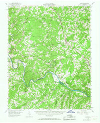
1950 Lynchburg
Campbell County, VA
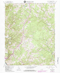
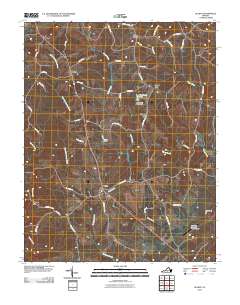
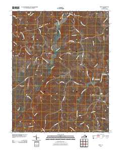
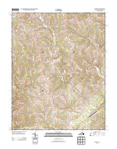
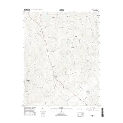
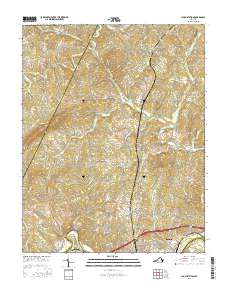
1956 Gladys
Campbell County, VA
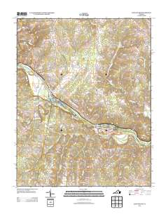
1963 City Farm
Campbell County, VA
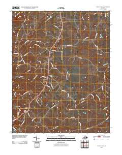
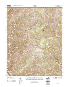
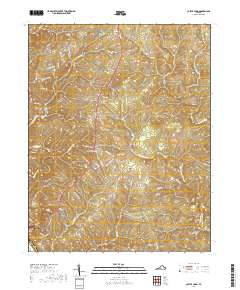
1966 Castle Craig
Campbell County, VA
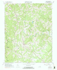
1966 Gladys
Campbell County, VA
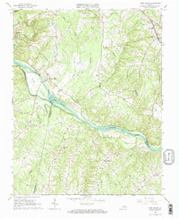
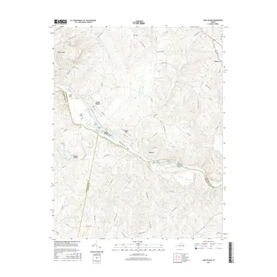
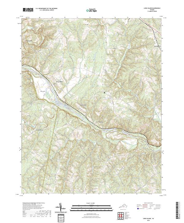
1966 Long Island
Campbell County, VA
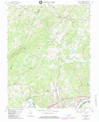
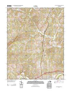
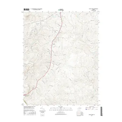
1966 Lynch Station
Campbell County, VA
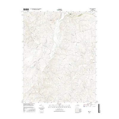
1966 Mike
Campbell County, VA
2010 Castle Craig
Campbell County, VA
2010 City Farm
Campbell County, VA
2010 Gladys
Campbell County, VA
2010 Long Island
Campbell County, VA
2010 Lynch Station
Campbell County, VA
2010 Mike
Campbell County, VA
2013 Castle Craig
Campbell County, VA
2013 City Farm
Campbell County, VA
2013 Gladys
Campbell County, VA
2013 Long Island
Campbell County, VA
2013 Lynch Station
Campbell County, VA
2013 Mike
Campbell County, VA
2016 Castle Craig
Campbell County, VA
2016 City Farm
Campbell County, VA
2016 Gladys
Campbell County, VA
2016 Long Island
Campbell County, VA
2016 Lynch Station
Campbell County, VA
2016 Mike
Campbell County, VA
2019 Castle Craig
Campbell County, VA
2019 City Farm
Campbell County, VA
2019 Gladys
Campbell County, VA
2019 Long Island
Campbell County, VA
2019 Lynch Station
Campbell County, VA
2019 Mike
Campbell County, VA
2022 Castle Craig
Campbell County, VA
2022 City Farm
Campbell County, VA
2022 Gladys
Campbell County, VA
2022 Long Island
Campbell County, VA
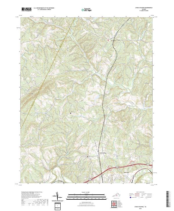
2022 Lynch Station
Campbell County, VA
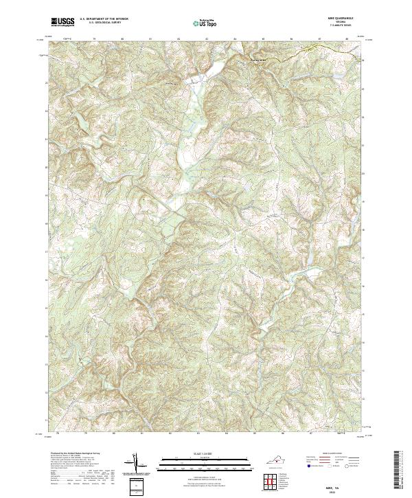
2022 Mike
Campbell County, VA