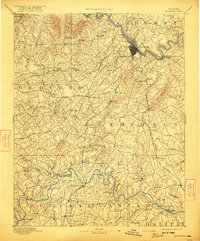
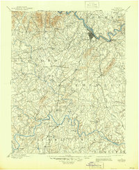
1892 Map of Lynchburg
USGS Topo · Published 1922About this map
Lynchburg serves as the central hub of this 1890s landscape, where the James River and numerous rail lines intersect at the foot of the Blue Ridge. The map documents a transportation network in transition, featuring the Virginia Midland Rail Road and the Norfolk and Western Rail Road alongside older thoroughfares like the Tomahawk Road and Wards Road. South of the city, the Roanoke River (noted as the Staunton River) is crossed by essential local infrastructure including the Wards Road Ferry and Green Hill Ferry. Beyond the urban core, smaller communities such as Rustburg, Evington, and Goode are connected by turnpikes and secondary roads. Educational and industrial landmarks are also recorded, from the Salem Academy to Galts Mill, illustrating the social and economic fabric of Central Virginia during this era.
Find a feature on this map
122 named features on this map. Tap any name to fly to it.
Don’t see what you’re looking for? This feature index may not catch every label — zoom into the map to look around manually.
Map Details
Editions of this 1892 Lynchburg Map
6 editions found
Other maps of this area

1890 · Roanoke
USGS Topo · 1:125,000

1891 · Roanoke
USGS Topo · 1:125,000

1892 · Lynchburg
USGS Topo · 1:125,000

1892 · Buckingham
USGS Topo · 1:125,000

1892 · Appomattox
USGS Topo · 1:125,000

1894 · Natural Bridge
USGS Topo · 1:125,000

1894 · Lexington
USGS Topo · 1:125,000

1894 · Natural Bridge
USGS Topo · 1:62,500

1907 · Natural Bridge Special
USGS Topo · 1:62,500

1921 · Chatham
USGS Topo · 1:48,000