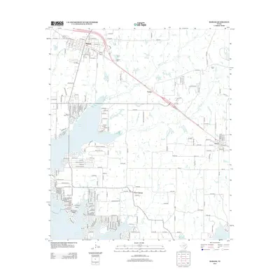
2012 Map of Mabank
USGS Topo · Published 2012About this map
Cedar Cr Reservoir dominates the southwestern quadrant of this landscape, its intricate shoreline defining the layout of modern communities. Residential development is highly concentrated along the water, characterized by the dense street grids of Enchanted Oaks and numerous private lanes like Peaceful Woods Dr and Golden Oaks Dr. This modern growth contrasts with the established town centers of Mabank to the northwest and Eustace to the east, which maintain more traditional grid patterns along regional transit corridors.
Find a feature on this map
75 named features on this map. Tap any name to fly to it.
Don’t see what you’re looking for? This feature index may not catch every label — zoom into the map to look around manually.
Map Details
Editions of this 2012 Mabank Map
This is the sole edition of this map. No revisions or reprints were ever made.
Other maps of this area

1920 · Kemp
USGS Topo · 1:62,500

1948 · Martins Mill
USGS Topo · 1:62,500

1949 · Martins Mill
USGS Topo · 1:62,500

1949 · Athens
USGS Topo · 1:62,500

1950 · Athens
USGS Topo · 1:62,500

1954 · Dallas
USGS Topo · 1:250,000

1956 · Tyler
USGS Topo · 1:250,000

1957 · Kemp
USGS Topo · 1:62,500

1958 · Dallas
USGS Topo · 1:250,000

1960 · Tool
USGS Topo · 1:24,000