
1943 Map of Mabelton
USGS Topo · Published 1943About this map
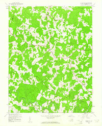
The South Anna River and the Newfound River define the rural topography of this 1943 survey, carving a network of drainages across the Hanover and Louisa county line. This era captures a landscape of small agricultural crossroads and community nodes, such as Goshen Cross Roads and Moudges Corner. The rural economy of the mid-1940s is evident in the presence of the Sawmill near Montpelier and the Taylors Creek Mill to the southeast, indicating the continued importance of timber and local processing.
Find a feature on this map
21 named features on this map. Tap any name to fly to it.
Don’t see what you’re looking for? This feature index may not catch every label — zoom into the map to look around manually.
Map Details
Editions of this 1943 Mabelton Map
2 editions found
Other maps of this area

1890 · Goochland
USGS Topo · 1:125,000

1892 · Goochland
USGS Topo · 1:125,000

1936 · Glen Allen
USGS Topo · 1:24,000

1941 · Glen Allen
USGS Topo · 1:31,680

1942 · Buckner
USGS Topo · 1:24,000

1942 · Beaverdam
USGS Topo · 1:24,000
1943 · Hanover Academy
USGS Topo · 1:31,680

1943 · Perkinsville
USGS Topo · 1:31,680
1943 · Buckner
USGS Topo · 1:31,680
1943 · Hewlett
USGS Topo · 1:31,680