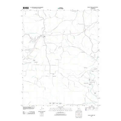
2011 Map of Macks Creek
USGS Topo · Published 2011About this map
Macks Creek serves as the primary hub of this Missouri landscape, situated near the intersection of various local thoroughfares like Doc Ridgeway Dr and Elliott Dr. The terrain is defined by the winding course of the Niangua River to the southeast, which is flanked by dramatic elevations such as Pikes Peak Bluff, Chapel Bluff, and Sugarcamp Bluff. This topography is characterized by a dense network of hollows, including Fishhook Hollow and Andrew Hollow, which break the upland areas of the Niangua Hills.
Find a feature on this map
82 named features on this map. Tap any name to fly to it.
Don’t see what you’re looking for? This feature index may not catch every label — zoom into the map to look around manually.
Map Details
Editions of this 2011 Macks Creek Map
This is the sole edition of this map. No revisions or reprints were ever made.
Other maps of this area

1884 · Bolivar
USGS Topo · 1:125,000

1887 · Warsaw
USGS Topo · 1:125,000

1888 · Versailles
USGS Topo · 1:125,000

1892 · Bolivar
USGS Topo · 1:125,000

1893 · Versailles
USGS Topo · 1:125,000

1894 · Warsaw
USGS Topo · 1:125,000

1934 · Macks Creek
USGS Topo · 1:48,000

1934 · Green Bay Terrace
USGS Topo · 1:24,000

1935 · Barnumton
USGS Topo · 1:24,000

1939 · Macks Creek
USGS Topo · 1:62,500