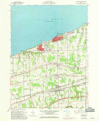
1960 Map of Madison
USGS Topo · Published 1971About this map
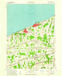
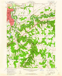
Lake Erie defines the northern reaches of this Lake County landscape, where the shoreline is dotted with summer-oriented developments like Madison-on-the-Lake and Camp Wingfoot. Moving inland, the topography is structured by a series of ancient glacial beach ridges—North Ridge, Middle Ridge, and South Ridge—which dictate the path of major thoroughfares and the placement of historic settlements. This survey shows the region as it transitioned from a strictly agricultural and lakeshore resort area into a more developed suburban corridor, evidenced by the expanding residential footprints in North Madison and the presence of a modern Drive-in Theater along the highway. In the southern interior, the Grand River cuts a deep valley through the terrain, while the industrial and transit backbone of the area is represented by the parallel tracks of the Penn Central and Norfolk and Western railroads passing through Unionville.
Find a feature on this map
54 named features on this map. Tap any name to fly to it.
Don’t see what you’re looking for? This feature index may not catch every label — zoom into the map to look around manually.
Map Details
Editions of this 1960 Madison Map
4 editions found
Other maps of this area

1904 · Chardon
USGS Topo · 1:62,500

1905 · Ashtabula
USGS Topo · 1:62,500

1905 · Perry
USGS Topo · 1:62,500

1905 · Jefferson
USGS Topo · 1:62,500

1906 · Chardon
USGS Topo · 1:62,500

1907 · Jefferson
USGS Topo · 1:62,500

1950 · Cleveland
USGS Topo · 1:250,000

1956 · Cleveland
USGS Topo · 1:250,000

1959 · East Trumbull
USGS Topo · 1:24,000
1960 · Painesville
USGS Topo · 1:24,000