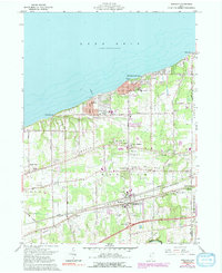
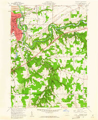
1960 Map of Madison
USGS Topo · Published 1991About this map
Lake Erie defines the northern edge of this Lake County coastal landscape, where the shoreline is punctuated by settlements like Madison-on-the-Lake and Driftwood. Moving inland, the topography is organized by three distinct glacial formations: North Ridge, Middle Ridge, and South Ridge. These ridges serve as the primary corridors for early settlement and transportation, hosting a dense network of community landmarks including the Madison Memorial High Sch and multiple burial grounds such as North Madison Cem and South Ridge Cem.
Find a feature on this map
53 named features on this map. Tap any name to fly to it.
Don’t see what you’re looking for? This feature index may not catch every label — zoom into the map to look around manually.
Map Details
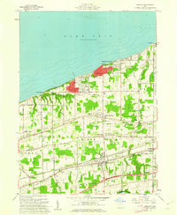
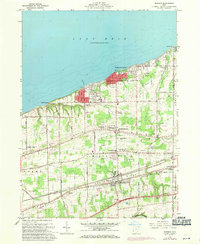
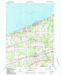
Editions of this 1960 Madison Map
4 editions found
Other maps of this area

1904 · Chardon
USGS Topo · 1:62,500

1905 · Ashtabula
USGS Topo · 1:62,500

1905 · Perry
USGS Topo · 1:62,500

1905 · Jefferson
USGS Topo · 1:62,500

1906 · Chardon
USGS Topo · 1:62,500

1907 · Jefferson
USGS Topo · 1:62,500

1950 · Cleveland
USGS Topo · 1:250,000

1956 · Cleveland
USGS Topo · 1:250,000

1959 · East Trumbull
USGS Topo · 1:24,000
1960 · Painesville
USGS Topo · 1:24,000