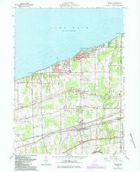
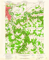
1960 Map of Madison
USGS Topo · Published 1985About this map
Lake Erie defines the northern reaches of this coastal landscape, where the shoreline transition from Madison-on-the-Lake to Redbird reveals a community shaped by its proximity to the water. Moving inland, the terrain is organized by distinct geological features like North Ridge and South Ridge, which served as natural corridors for early settlement and transportation. The industrial and transit character of the mid-20th century is evident in the parallel tracks of the Conrail and Norfolk And Western railroads, which clip the southern half of the map near Unionville.
Find a feature on this map
43 named features on this map. Tap any name to fly to it.
Don’t see what you’re looking for? This feature index may not catch every label — zoom into the map to look around manually.
Map Details
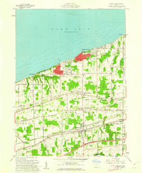
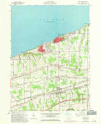
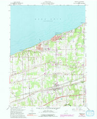
Editions of this 1960 Madison Map
4 editions found
Other maps of this area

1904 · Chardon
USGS Topo · 1:62,500

1905 · Ashtabula
USGS Topo · 1:62,500

1905 · Perry
USGS Topo · 1:62,500

1905 · Jefferson
USGS Topo · 1:62,500

1906 · Chardon
USGS Topo · 1:62,500

1907 · Jefferson
USGS Topo · 1:62,500

1950 · Cleveland
USGS Topo · 1:250,000

1956 · Cleveland
USGS Topo · 1:250,000

1959 · East Trumbull
USGS Topo · 1:24,000
1960 · Painesville
USGS Topo · 1:24,000